UN/LOCODE hub · Portugal
PTMDM
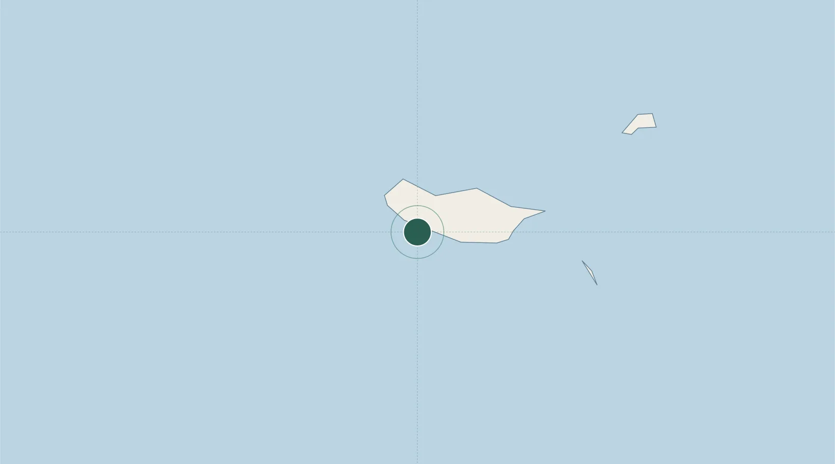
Madalena do Mar
32.6833°, -17.1333°
516
Population
1
Transport functions
Transport Functions
Port
Hub Profile
Place type
Populated place
Region
Madeira
Population
516
Time zone
Atlantic/Madeira
Elevation
13 m
Location
Nearby Logistics Neighbours
Cities
- 1Câmara de Lobos17 km
- 2Porto Moniz19 km
- 3Funchal, Madeira22 km
- 4Porto da Cruz30 km
- 5Machico34 km
Ports
- 1Funchal21 km
- 2Santa Cruz De La Palma449 km
- 3Santa Cruz De Tenerife477 km
- 4Las Palmas530 km
- 5Arrecife539 km
Airports
Trade Zones
DatabookThe Record of Consolidated Knowledge
Portugal beyond logistics?