UN/LOCODE hub · Portugal
PTCBR
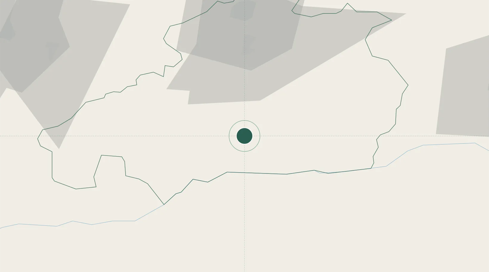
Castelo Branco
39.8167°, -7.5000°
33,479
Population
2
Transport functions
Transport Functions
Rail
Road
Hub Profile
Place type
Regional capital
Region
Castelo Branco
Population
33,479
Time zone
Europe/Lisbon
Elevation
371 m
Location
Nearby Logistics Neighbours
Cities
- 1Alcains12 km
- 2Vila Velha de Ródão24 km
- 3Soalheira24 km
- 4Fundão35 km
- 5Castelo de Vide45 km
Ports
- 1Figueira Da Foz121 km
- 2Aveiro135 km
- 3Oporto178 km
- 4Porto De Leixoes183 km
- 5Setubal188 km
Airports
Trade Zones
- 1VGP Park Santa Maria da Feira153 km
- 2Zona Livre Tecnológica Masotinhos181 km
- 3Zona Franca de Vigo288 km
- 4Puerto de Huelva288 km
- 5Zona Franca de Sevilla305 km
DatabookThe Record of Consolidated Knowledge
Portugal beyond logistics?