Transport Functions
Rail
Road
Hub Profile
Place type
Populated place
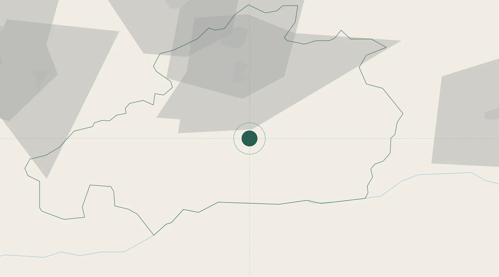
Region
Castelo Branco
Population
4,616
Time zone
Europe/Lisbon
Elevation
369 m
Location
Nearby Logistics Neighbours
Cities
- 1Castelo Branco12 km
- 2Soalheira13 km
- 3Fundão24 km
- 4Vila Velha de Ródão35 km
- 5Covilhã41 km
Ports
- 1Figueira Da Foz122 km
- 2Aveiro130 km
- 3Oporto171 km
- 4Porto De Leixoes176 km
- 5Setubal200 km
Airports
Trade Zones
- 1VGP Park Santa Maria da Feira147 km
- 2Zona Livre Tecnológica Masotinhos174 km
- 3Zona Franca de Vigo279 km
- 4Puerto de Huelva299 km
- 5Zona Franca de Sevilla314 km
DatabookThe Record of Consolidated Knowledge
Portugal beyond logistics?