Transport Functions
Rail
Road
Hub Profile
Place type
Populated place
Region
Castelo Branco
Time zone
Europe/Lisbon
Elevation
422 m
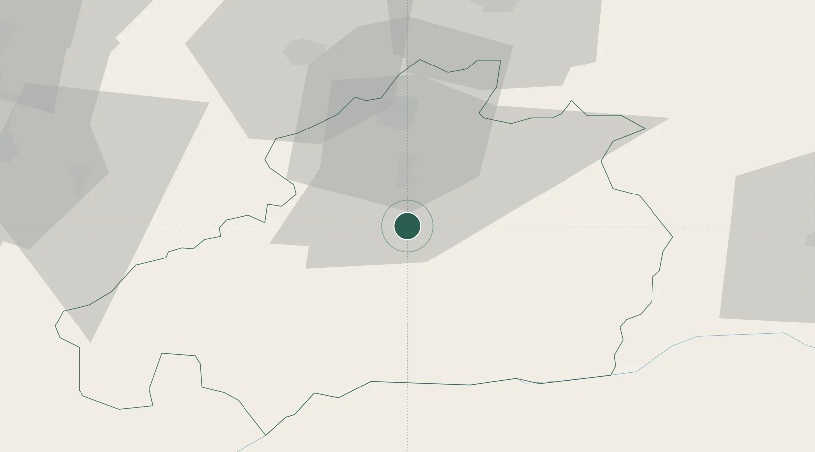
Location
Nearby Logistics Neighbours
Cities
- 1Fundão11 km
- 2Alcains13 km
- 3Castelo Branco24 km
- 4Covilhã28 km
- 5Vila Velha de Ródão45 km
Ports
- 1Figueira Da Foz117 km
- 2Aveiro120 km
- 3Oporto159 km
- 4Porto De Leixoes164 km
- 5Lisboa207 km
Airports
Trade Zones
- 1VGP Park Santa Maria da Feira136 km
- 2Zona Livre Tecnológica Masotinhos162 km
- 3Zona Franca de Vigo266 km
- 4Puerto de Huelva312 km
- 5Zona Franca de Sevilla327 km
DatabookThe Record of Consolidated Knowledge
Portugal beyond logistics?