Transport Functions
Rail
Road
Airport
Hub Profile
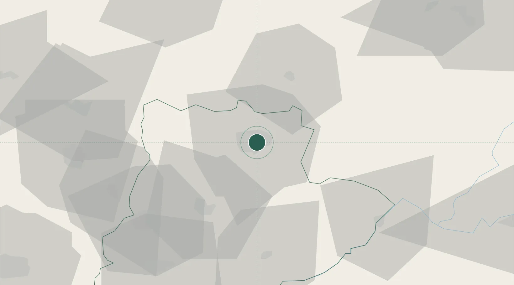
Place type
Regional capital
Region
Bragança
Population
35,341
Time zone
Europe/Lisbon
Elevation
664 m
Location
Nearby Logistics Neighbours
Cities
- 1Rio Frio13 km
- 2Hermisende20 km
- 3Macedo de Cavaleiros36 km
- 4Rabanales41 km
- 5Mombuey42 km
Ports
- 1Vigo169 km
- 2Viana Do Castelo173 km
- 3Marin173 km
- 4Oporto176 km
- 5Porto De Leixoes177 km
Airports
- 1Bragança Airport6 km
- 2Vila Real Airport101 km
- 3León Int'l Airport125 km
- 4Salamanca Airport142 km
- 5Braga Municipal Aerodrome143 km
Trade Zones
- 1Zona Franca de Vigo172 km
- 2Zona Livre Tecnológica Masotinhos176 km
- 3VGP Park Santa Maria da Feira181 km
- 4Depósito Franco de Gijón213 km
- 5Depósito Franco de La Coruña218 km
DatabookThe Record of Consolidated Knowledge
Portugal beyond logistics?