Transport Functions
Port
Hub Profile
Place type
District seat
Region
Castille and León
Population
367
Time zone
Europe/Madrid
Elevation
842 m
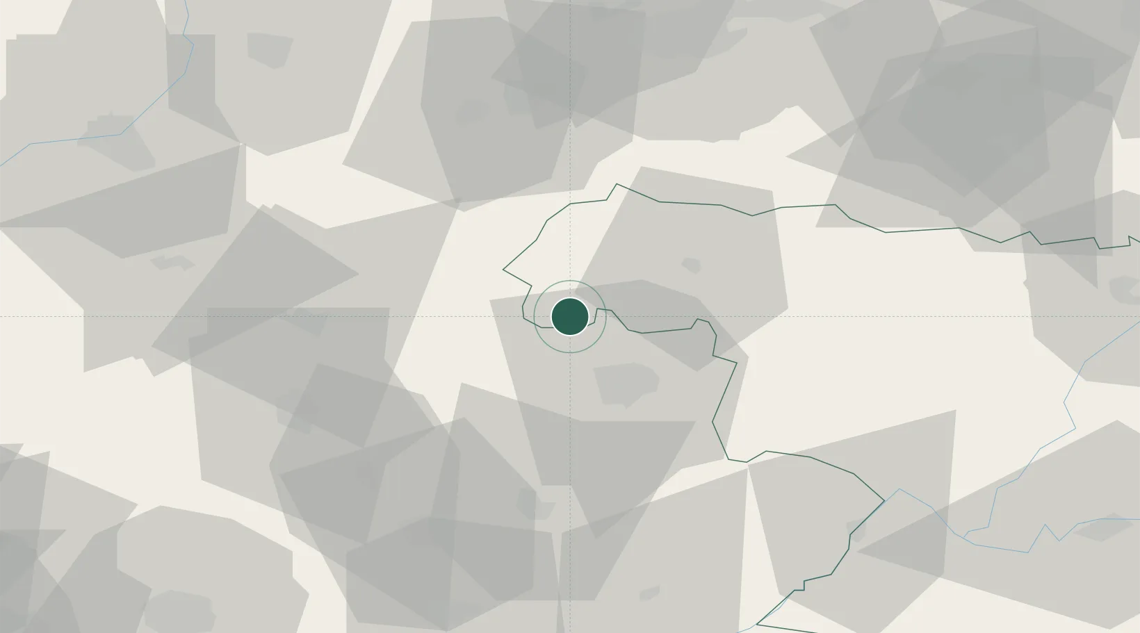
Location
Nearby Logistics Neighbours
Ports
- 1Vigo154 km
- 2Marin157 km
- 3Viana Do Castelo164 km
- 4Villagarcia De Arosa170 km
- 5Oporto174 km
Airports
- 1Bragança Airport19 km
- 2Vila Real Airport104 km
- 3León Int'l Airport123 km
- 4Braga Municipal Aerodrome136 km
- 5Vigo Airport147 km
Trade Zones
- 1Zona Franca de Vigo157 km
- 2Zona Livre Tecnológica Masotinhos174 km
- 3VGP Park Santa Maria da Feira181 km
- 4Depósito Franco de La Coruña198 km
- 5Depósito Franco de Gijón203 km
DatabookThe Record of Consolidated Knowledge
Spain beyond logistics?