Transport Functions
Multimodal
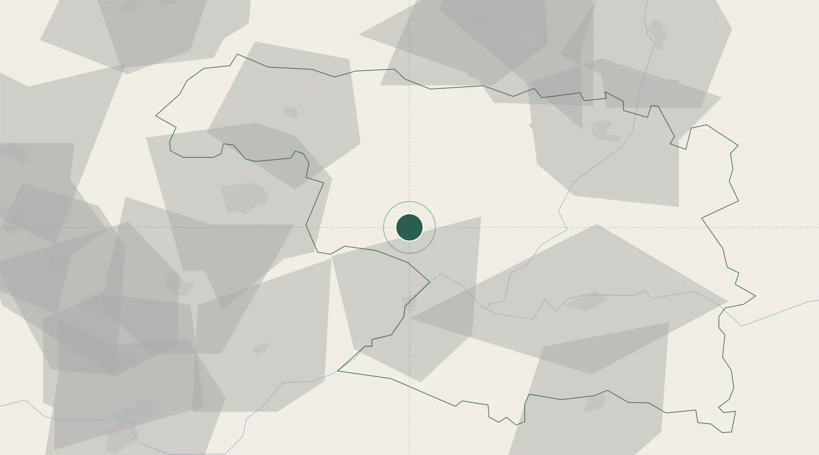
Hub Profile
Place type
District seat
Region
Castille and León
Population
753
Time zone
Europe/Madrid
Elevation
835 m
Location
Nearby Logistics Neighbours
Airports
- 1Bragança Airport39 km
- 2Salamanca Airport108 km
- 3León Int'l Airport108 km
- 4Valladolid Airport118 km
- 5Vila Real Airport131 km
Trade Zones
DatabookThe Record of Consolidated Knowledge
Spain beyond logistics?