UN/LOCODE hub · Portugal
PTMCD
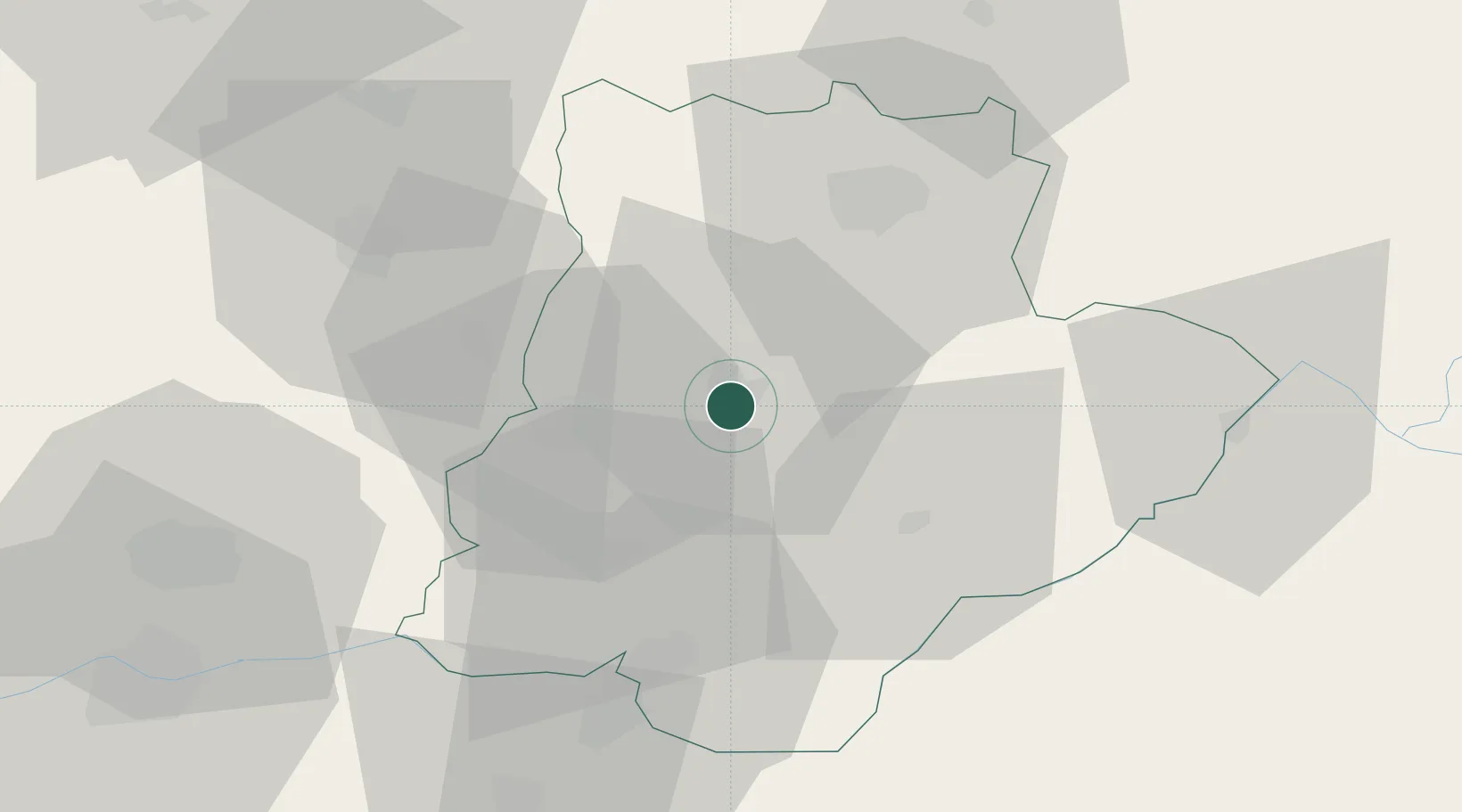
Macedo de Cavaleiros
41.5333°, -6.9667°
6,566
Population
2
Transport functions
Transport Functions
Rail
Road
Hub Profile
Place type
Provincial seat
Region
Bragança
Population
6,566
Time zone
Europe/Lisbon
Elevation
558 m
Location
Nearby Logistics Neighbours
Cities
- 1Carvalhais17 km
- 2Mirandela19 km
- 3Bouça25 km
- 4Argeriz35 km
- 5Rio Frio36 km
Ports
- 1Oporto148 km
- 2Porto De Leixoes150 km
- 3Viana Do Castelo156 km
- 4Vigo165 km
- 5Aveiro172 km
Airports
- 1Bragança Airport42 km
- 2Vila Real Airport69 km
- 3Aerodromo Goncalves Lobato (Viseu Airport)119 km
- 4Braga Municipal Aerodrome123 km
- 5Vilar de Luz Airfield132 km
Trade Zones
- 1Zona Livre Tecnológica Masotinhos149 km
- 2VGP Park Santa Maria da Feira150 km
- 3Zona Franca de Vigo167 km
- 4Depósito Franco de La Coruña234 km
- 5Depósito Franco de Gijón249 km
DatabookThe Record of Consolidated Knowledge
Portugal beyond logistics?