UN/LOCODE hub · Portugal
PTABV
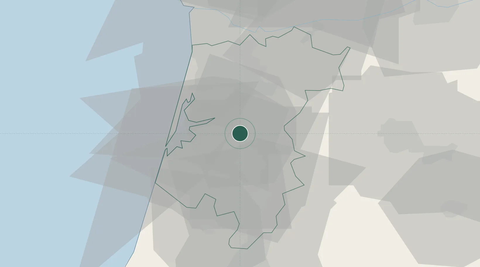
Albergaria-a-Velha
40.7000°, -8.4833°
7,974
Population
2
Transport functions
Transport Functions
Rail
Road
Hub Profile
Place type
Provincial seat
Region
Aveiro
Population
7,974
Time zone
Europe/Lisbon
Elevation
128 m
Location
Nearby Logistics Neighbours
Cities
- 1Branca7 km
- 2Estarreja9 km
- 3Oliveira de Azemeis15 km
- 4Águeda15 km
- 5Aveiro16 km
Ports
- 1Aveiro15 km
- 2Oporto52 km
- 3Porto De Leixoes57 km
- 4Figueira Da Foz69 km
- 5Viana Do Castelo115 km
Airports
Trade Zones
DatabookThe Record of Consolidated Knowledge
Portugal beyond logistics?