UN/LOCODE hub · Portugal
PTODA
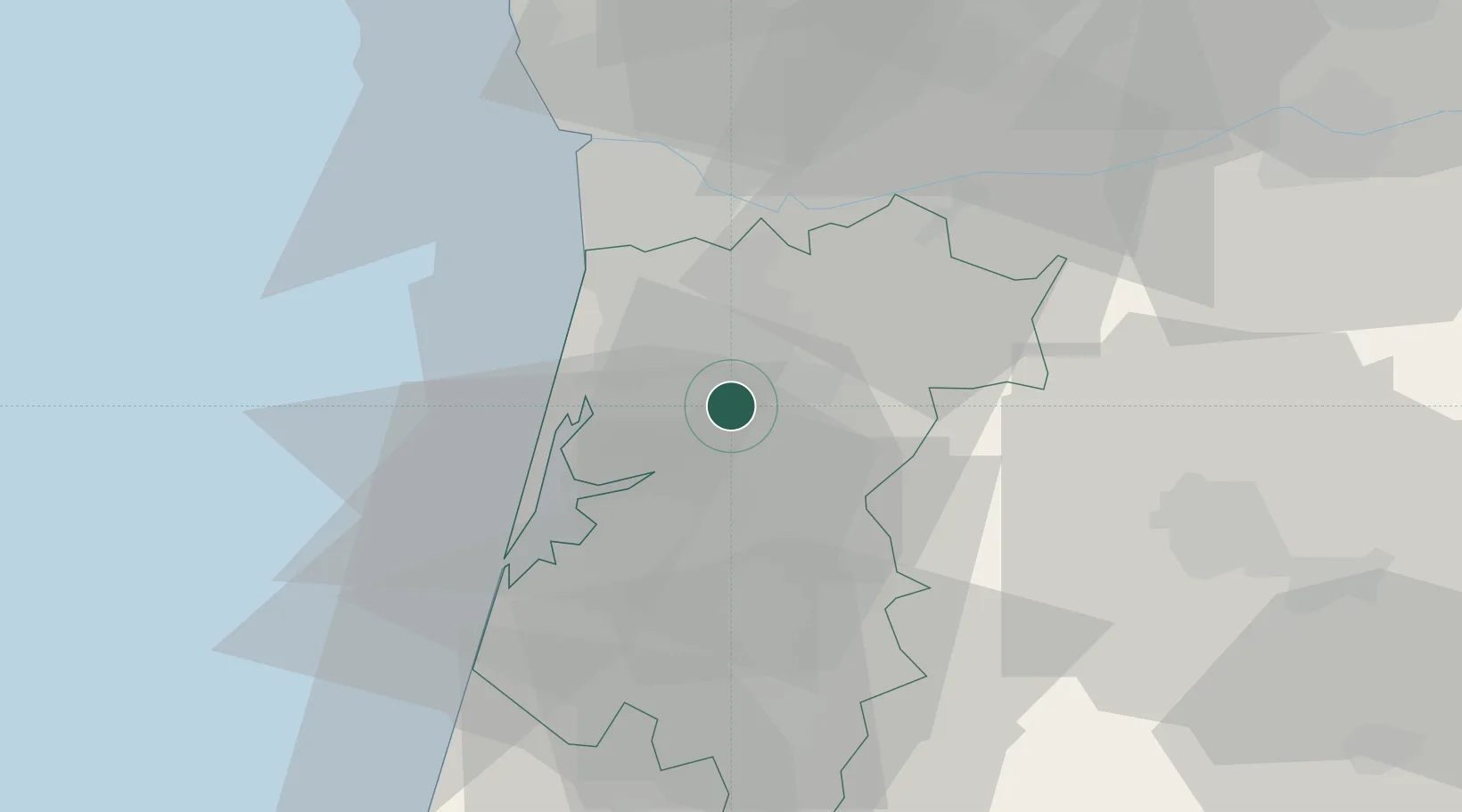
Oliveira de Azemeis
40.8333°, -8.4833°
11,771
Population
2
Transport functions
Transport Functions
Rail
Road
Hub Profile
Place type
Provincial seat
Region
Aveiro
Population
11,771
Time zone
Europe/Lisbon
Elevation
221 m
Location
Nearby Logistics Neighbours
Cities
- 1Pindelo5 km
- 2Branca7 km
- 3São João da Madeira8 km
- 4Vale de Cambra9 km
- 5Vila Chã9 km
Ports
- 1Aveiro25 km
- 2Oporto38 km
- 3Porto De Leixoes43 km
- 4Figueira Da Foz82 km
- 5Viana Do Castelo101 km
Airports
Trade Zones
DatabookThe Record of Consolidated Knowledge
Portugal beyond logistics?