Transport Functions
Rail
Road
Hub Profile
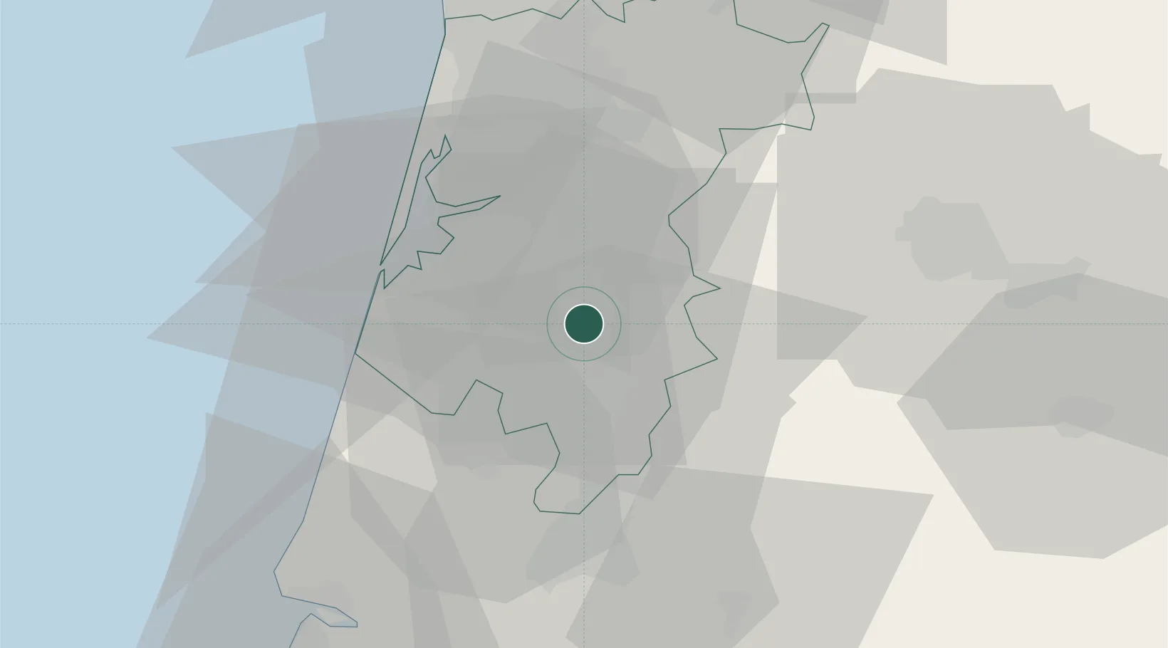
Place type
Provincial seat
Region
Aveiro
Population
11,941
Time zone
Europe/Lisbon
Elevation
39 m
Location
Nearby Logistics Neighbours
Cities
- 1Aguada de Baixo7 km
- 2Amoreira da Gândara12 km
- 3Nariz13 km
- 4Bustos15 km
- 5Albergaria-a-Velha15 km
Ports
- 1Aveiro19 km
- 2Figueira Da Foz57 km
- 3Oporto67 km
- 4Porto De Leixoes72 km
- 5Viana Do Castelo130 km
Airports
Trade Zones
- 1VGP Park Santa Maria da Feira42 km
- 2Zona Livre Tecnológica Masotinhos70 km
- 3Zona Franca de Vigo187 km
- 4Depósito Franco de La Coruña310 km
- 5Puerto de Huelva390 km
DatabookThe Record of Consolidated Knowledge
Portugal beyond logistics?