Transport Functions
Port
Road
Hub Profile
Place type
Populated place
Region
Mazovia
Time zone
Europe/Warsaw
Elevation
130 m
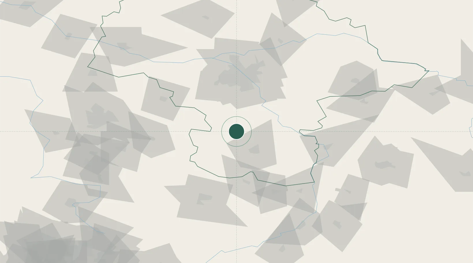
Location
Nearby Logistics Neighbours
Cities
- 1Belsk Duzy26 km
- 2Kowala Stepocina33 km
- 3Zawonia35 km
- 4Tarczyn40 km
- 5Skaryszew42 km
Ports
- 1Gdansk340 km
- 2Baltiysk343 km
- 3Kaliningrad344 km
- 4Nowy Port347 km
- 5Gdynia362 km
Airports
Trade Zones
DatabookThe Record of Consolidated Knowledge
Poland beyond logistics?