Transport Functions
Multimodal
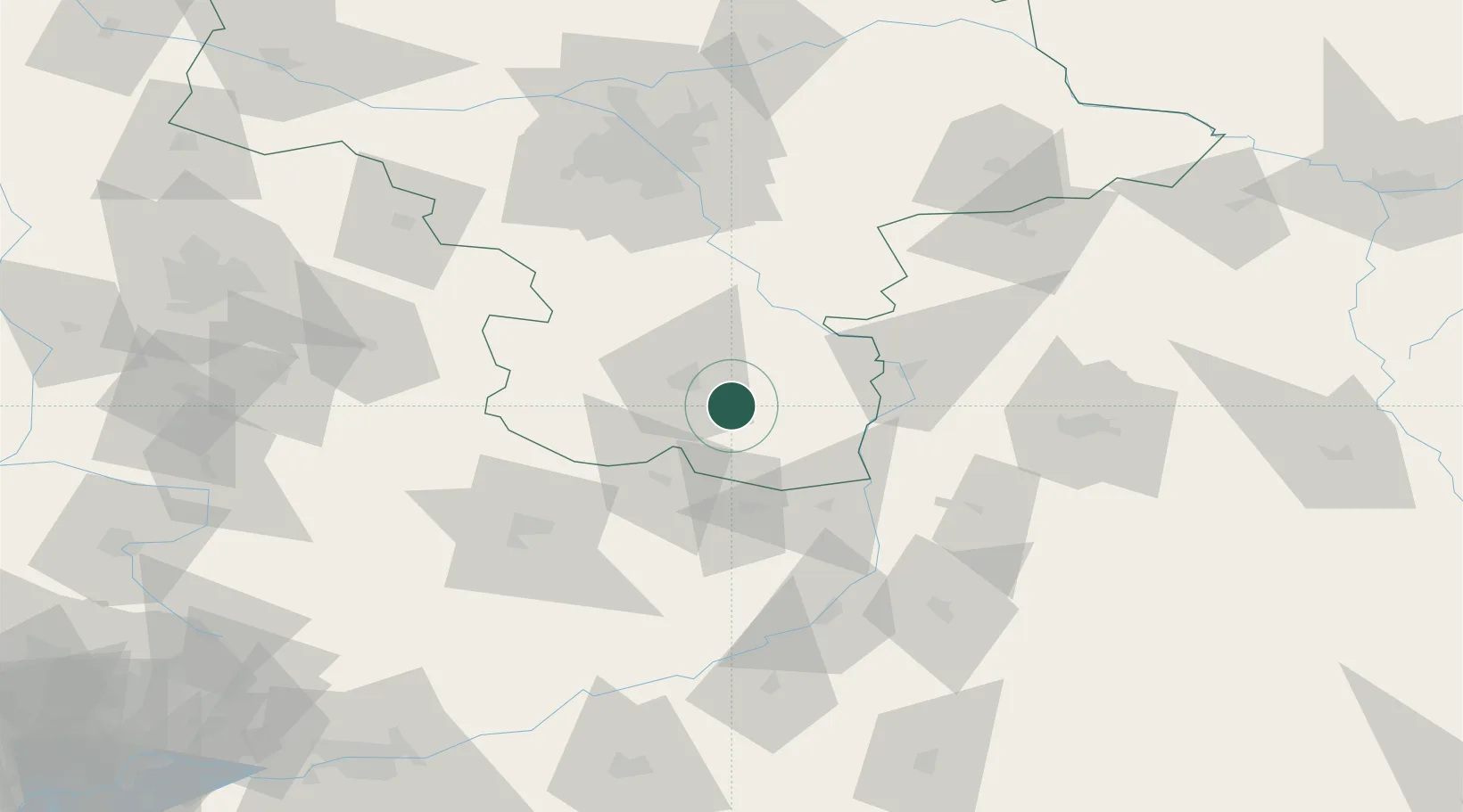
Hub Profile
Place type
District seat
Region
Mazovia
Population
4,135
Time zone
Europe/Warsaw
Elevation
176 m
Location
Nearby Logistics Neighbours
Cities
- 1Kowala Stepocina16 km
- 2Policzna27 km
- 3Garbatka-Letnisko30 km
- 4Siennica Rózana35 km
- 5Zawonia36 km
Ports
- 1Kaliningrad380 km
- 2Baltiysk381 km
- 3Gdansk381 km
- 4Nowy Port388 km
- 5Gdynia403 km
Airports
- 1Warsaw Radom Airport11 km
- 2Deblin Military Air Base48 km
- 3Tomaszów Mazowiecki Military Air Base90 km
- 4Warsaw Chopin Airport97 km
- 5Lublin Airport98 km
DatabookThe Record of Consolidated Knowledge
Poland beyond logistics?