UN/LOCODE hub · Poland
PLSKK
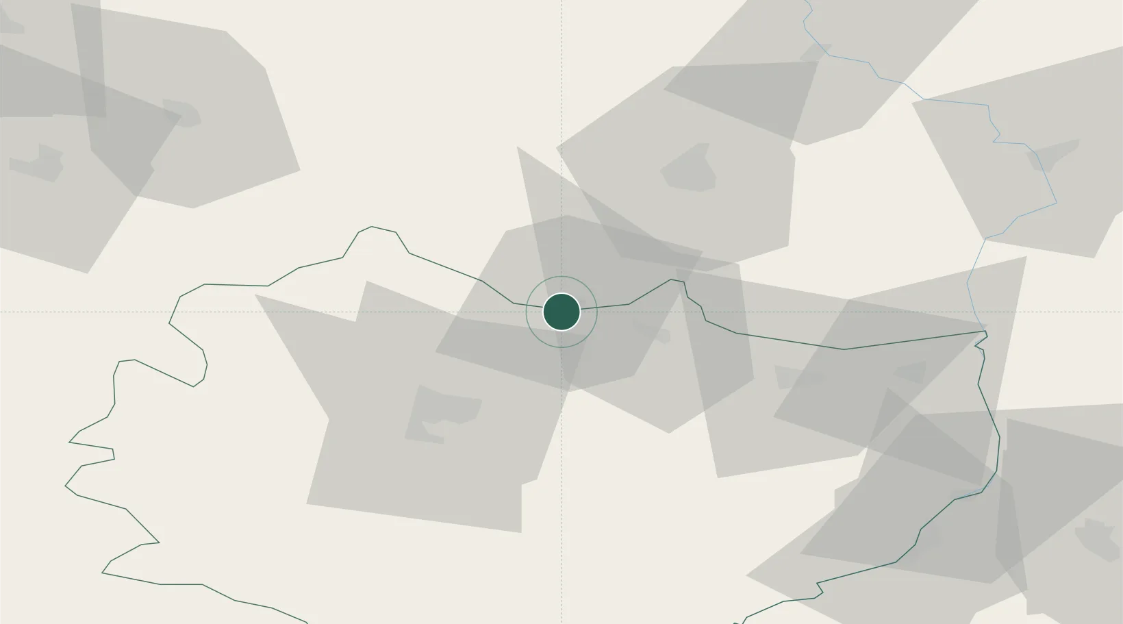
Skarzysko-Kamienna
51.0977°, 20.8603°
49,410
Population
2
Transport functions
Transport Functions
Rail
Road
Hub Profile
Place type
Provincial seat
Region
Świętokrzyskie
Population
49,410
Time zone
Europe/Warsaw
Elevation
238 m
Logistics facilities
1
Location
Nearby Logistics Neighbours
Cities
- 1Pawlów24 km
- 2Zawonia25 km
- 3Kowala Stepocina31 km
- 4Siennica Rózana34 km
- 5Skaryszew40 km
Ports
- 1Gdansk391 km
- 2Nowy Port397 km
- 3Baltiysk398 km
- 4Kaliningrad401 km
- 5Gdynia412 km
Airports
Trade Zones
DatabookThe Record of Consolidated Knowledge
Poland beyond logistics?