Transport Functions
Rail
Road
Hub Profile
Place type
Provincial seat
Region
Lubusz
Population
38,779
Time zone
Europe/Warsaw
Elevation
152 m
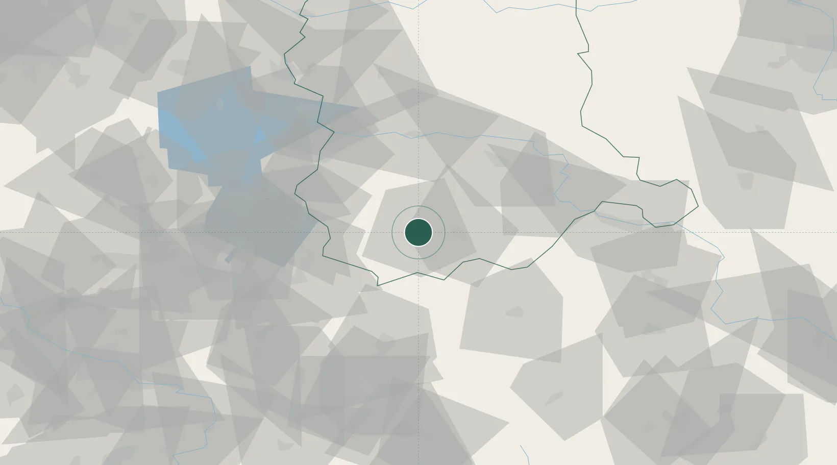
Location
Nearby Logistics Neighbours
Cities
- 1Sieniawa Zarska5 km
- 2Ilowa17 km
- 3Szprotawa29 km
- 4Kozuchów35 km
- 5Rothenburg/Oberlausitz35 km
Ports
- 1Szczecin202 km
- 2Police218 km
- 3Swinoujscie261 km
- 4Wolgast284 km
- 5Kolobrzeg289 km
Airports
- 1Rothenburg/Görlitz Airfield33 km
- 2Zielona Góra-Babimost Airport72 km
- 3Dresden Airport110 km
- 4Copernicus Wrocław Airport135 km
- 5Holzdorf Air Base136 km
Trade Zones
- 1Legnica SEZ (Legnicka SSE)68 km
- 2Kostrzyń-Słubice SEZ112 km
- 3Kamienna Góra113 km
- 4Wałbrzych SEZ INVEST-PARK (Wałbrzyska SSE)122 km
- 5Most - Joseph Industrial Zone165 km
DatabookThe Record of Consolidated Knowledge
Poland beyond logistics?