Transport Functions
Road
Multimodal
Hub Profile
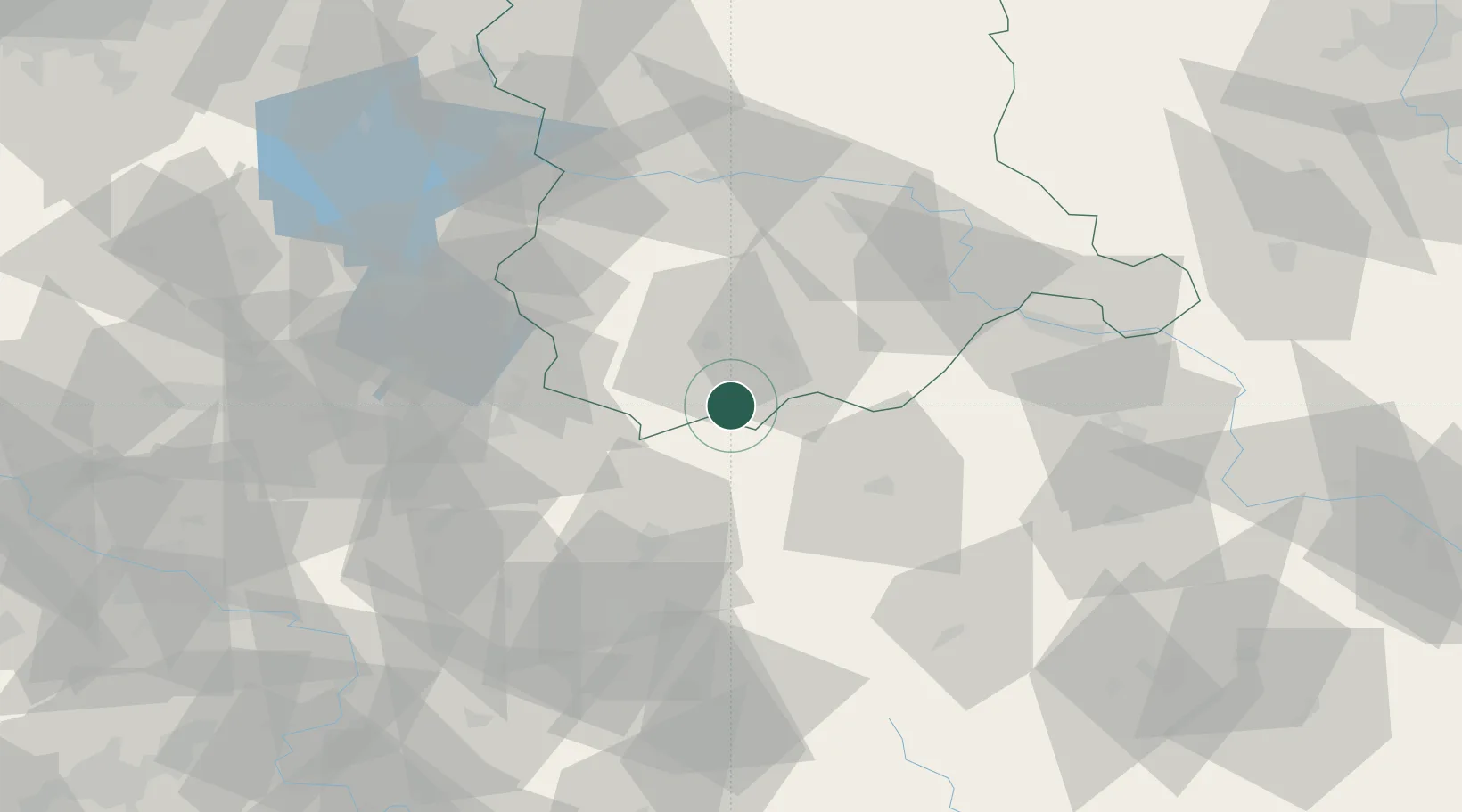
Place type
Populated place
Region
Lubusz
Population
3,892
Time zone
Europe/Warsaw
Elevation
126 m
Location
Nearby Logistics Neighbours
Cities
- 1Zary17 km
- 2Sieniawa Zarska19 km
- 3Rothenburg/Oberlausitz23 km
- 4Szprotawa26 km
- 5Horka/Oberlausitz28 km
Ports
- 1Szczecin219 km
- 2Police235 km
- 3Swinoujscie278 km
- 4Wolgast301 km
- 5Kolobrzeg305 km
Airports
- 1Rothenburg/Görlitz Airfield21 km
- 2Zielona Góra-Babimost Airport84 km
- 3Dresden Airport106 km
- 4Copernicus Wrocław Airport125 km
- 5Holzdorf Air Base143 km
Trade Zones
- 1Legnica SEZ (Legnicka SSE)57 km
- 2Kamienna Góra97 km
- 3Wałbrzych SEZ INVEST-PARK (Wałbrzyska SSE)107 km
- 4Kostrzyń-Słubice SEZ129 km
- 5Most - Joseph Industrial Zone155 km
DatabookThe Record of Consolidated Knowledge
Poland beyond logistics?