Transport Functions
Rail
Road
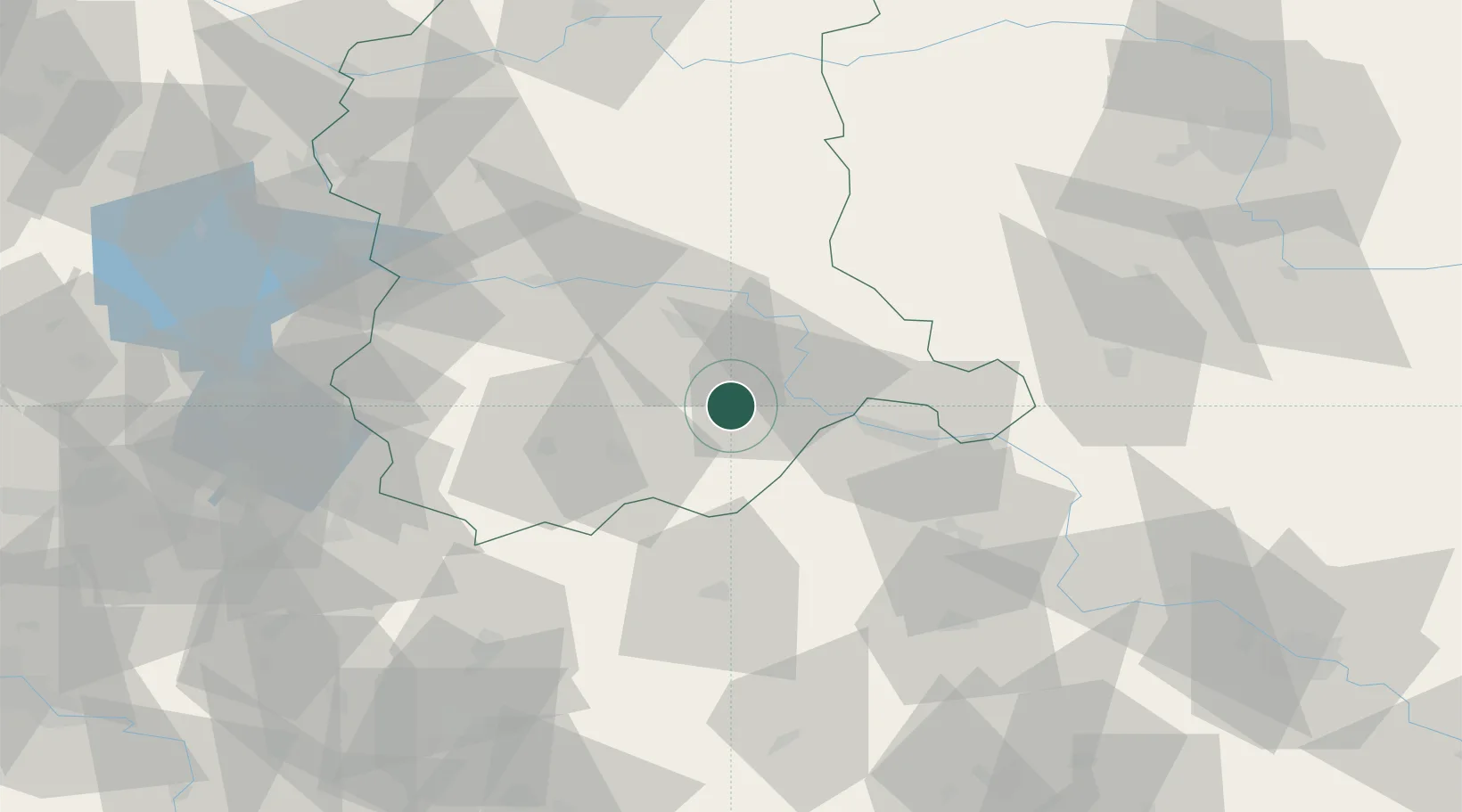
Hub Profile
Place type
District seat
Region
Lubusz
Population
9,679
Time zone
Europe/Warsaw
Elevation
101 m
Location
Nearby Logistics Neighbours
Cities
- 1Szprotawa21 km
- 2Zukowice28 km
- 3Cigacice32 km
- 4Czerwiénsk32 km
- 5Zary35 km
Ports
- 1Szczecin198 km
- 2Police214 km
- 3Swinoujscie257 km
- 4Kolobrzeg274 km
- 5Wolgast283 km
Airports
- 1Zielona Góra-Babimost Airport45 km
- 2Rothenburg/Görlitz Airfield62 km
- 3Poznań-Ławica Airport112 km
- 4Krzesiny Military Air Base114 km
- 5Copernicus Wrocław Airport114 km
Trade Zones
- 1Legnica SEZ (Legnicka SSE)57 km
- 2Kamienna Góra111 km
- 3Wałbrzych SEZ INVEST-PARK (Wałbrzyska SSE)114 km
- 4Kostrzyń-Słubice SEZ115 km
- 5Kolín - Ovčáry Industrial Zone189 km
DatabookThe Record of Consolidated Knowledge
Poland beyond logistics?