UN/LOCODE hub · Germany
DERBO

Rothenburg/Oberlausitz

51.3333°, 14.9667°
3
Transport functions

Transport Functions

Rail
Road
Multimodal
UN/LOCODE

Hub Profile

Region
SN
GeoNames

Location

Location of DERBO
Natural Earth 10m (public domain) · SN · DERBO · 51.33, 14.97GoogleOSMYandex

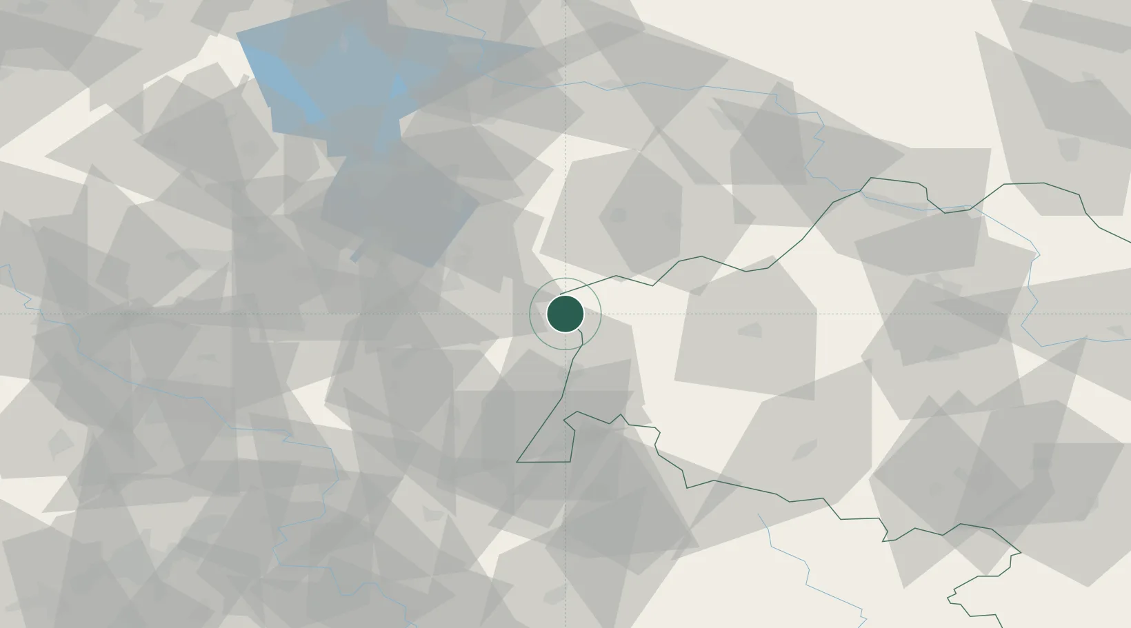
Nearby Logistics Neighbours

Cities
  1. 1Horka/Oberlausitz6 km
  2. 2Niesky11 km
  3. 3Kodersdorf13 km
  4. 4Rietschen14 km
  5. 5Görlitz19 km
Nearest neighbours — logibook spatial index (haversine) over the source coordinates
Ports
  1. 1Szczecin233 km
  2. 2Police250 km
  3. 3Swinoujscie291 km
  4. 4Wolgast312 km
  5. 5Kolobrzeg323 km
Nearest neighbours — logibook spatial index (haversine) over the source coordinates
Airports
  1. 1Rothenburg/Görlitz Airfield4 km
  2. 2Dresden Airport86 km
  3. 3Zielona Góra-Babimost Airport106 km
  4. 4Kostomlaty Airstrip125 km
  5. 5Vodochody Airport131 km
Nearest neighbours — logibook spatial index (haversine) over the source coordinates
Trade Zones
  1. 1Legnica SEZ (Legnicka SSE)67 km
  2. 2Kamienna Góra96 km
  3. 3Wałbrzych SEZ INVEST-PARK (Wałbrzyska SSE)110 km
  4. 4Most - Joseph Industrial Zone132 km
  5. 5Kolín - Ovčáry Industrial Zone142 km
Nearest neighbours — logibook spatial index (haversine) over the source coordinates
DatabookThe Record of Consolidated Knowledge
Germany beyond logistics?
Browse databook

All Sources

LocationsUN/LOCODE
UN/LOCODE — free
Portsthe NGA World Port Index
Public domain (US gov)
AirportsOurAirports
Public domain
Trade Zonesthe World Bank SEZ database
CC BY 4.0
Trade ZonesOpen Zone Map
CC BY
← Germany locations