Transport Functions
Rail
Road
Hub Profile
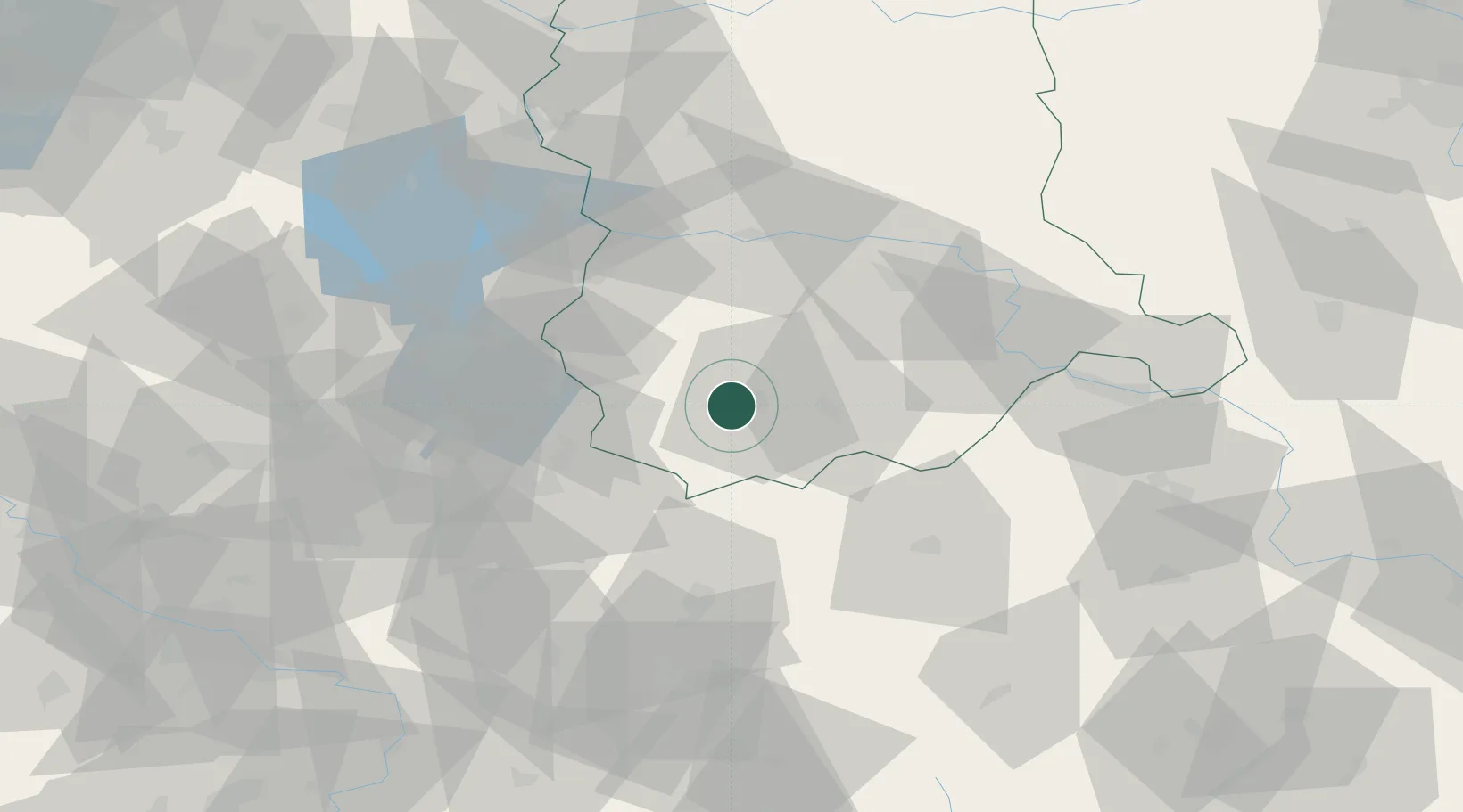
Place type
Populated place
Region
Lubusz
Population
1,090
Time zone
Europe/Warsaw
Elevation
150 m
Location
Nearby Logistics Neighbours
Ports
- 1Szczecin201 km
- 2Police218 km
- 3Swinoujscie260 km
- 4Wolgast282 km
- 5Kolobrzeg289 km
Airports
- 1Rothenburg/Görlitz Airfield31 km
- 2Zielona Góra-Babimost Airport75 km
- 3Dresden Airport106 km
- 4Holzdorf Air Base132 km
- 5Berlin Brandenburg Airport134 km
Trade Zones
- 1Legnica SEZ (Legnicka SSE)72 km
- 2Kostrzyń-Słubice SEZ111 km
- 3Kamienna Góra116 km
- 4Wałbrzych SEZ INVEST-PARK (Wałbrzyska SSE)125 km
- 5Most - Joseph Industrial Zone162 km
DatabookThe Record of Consolidated Knowledge
Poland beyond logistics?