Transport Functions
Rail
Road
Hub Profile
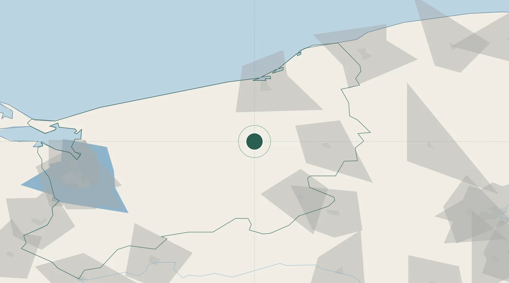
Place type
Populated place
Region
West Pomerania
Population
8,682
Time zone
Europe/Warsaw
Elevation
92 m
Location
Nearby Logistics Neighbours
Cities
- 1Swidwin20 km
- 2Tychowo24 km
- 3Zlocieniec25 km
- 4Bialogard30 km
- 5Drawsko Pomorskie31 km
Airports
Trade Zones
- 1Słupsk SEZ (Słupska SSE)101 km
- 2Szczecin Duty Free Zone106 km
- 3Swinoujscie Duty Free Zone120 km
- 4Pomeranian SEZ (Pomorska SSE)148 km
- 5Kostrzyń-Słubice SEZ160 km
DatabookThe Record of Consolidated Knowledge
Poland beyond logistics?