Transport Functions
Rail
Road
Hub Profile
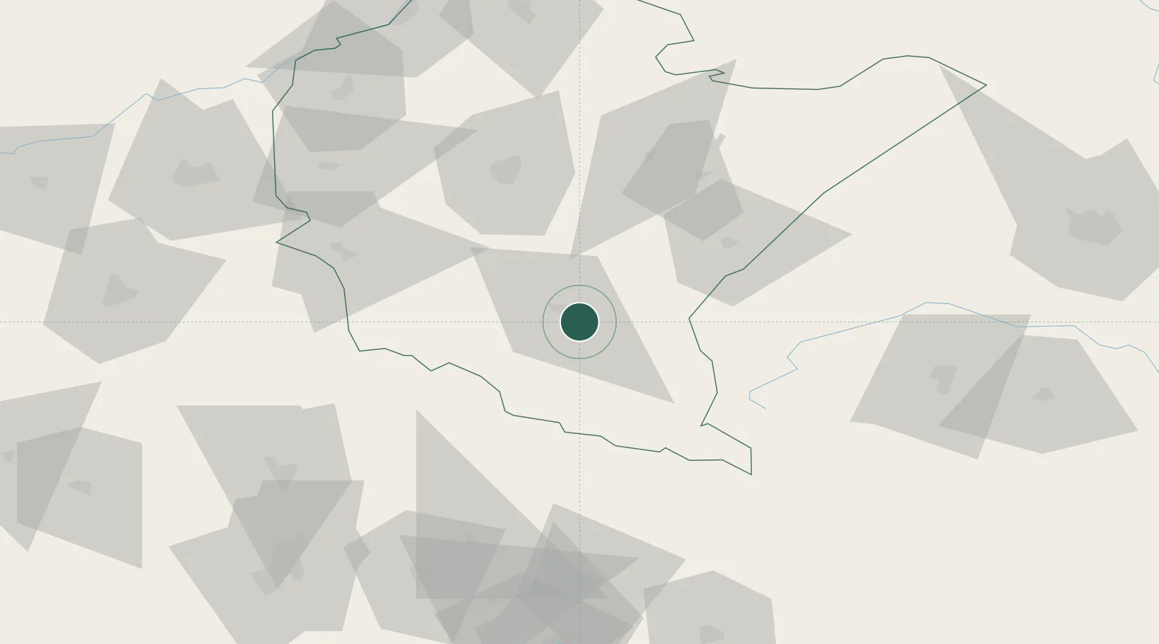
Place type
District seat
Region
Subcarpathia
Population
5,129
Time zone
Europe/Warsaw
Elevation
303 m
Location
Nearby Logistics Neighbours
Cities
- 1Ustrzyki Dolne25 km
- 2Jawornik Polski41 km
- 3Strzyzow51 km
- 4Kanczuga53 km
- 5Tarnowiec54 km
Ports
- 1Kaliningrad589 km
- 2Gdansk591 km
- 3Baltiysk591 km
- 4Nowy Port598 km
- 5Gdynia613 km
Airports
- 1Rzeszów-Jasionka Airport68 km
- 2Uzhhorod International Airport98 km
- 3Košice International Airport121 km
- 4Lviv International Airport126 km
- 5Poprad-Tatry Airport155 km
Trade Zones
DatabookThe Record of Consolidated Knowledge
Poland beyond logistics?