Transport Functions
Road
Multimodal
Hub Profile
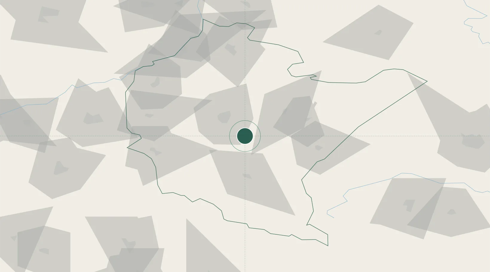
Place type
District seat
Region
Subcarpathia
Population
1,122
Time zone
Europe/Warsaw
Elevation
286 m
Location
Nearby Logistics Neighbours
Cities
- 1Boguchwala19 km
- 2Kanczuga20 km
- 3Lancut21 km
- 4Rzeszów23 km
- 5Zaczernie27 km
Ports
- 1Kaliningrad548 km
- 2Baltiysk551 km
- 3Gdansk552 km
- 4Nowy Port558 km
- 5Gdynia573 km
Airports
- 1Rzeszów-Jasionka Airport28 km
- 2Lviv International Airport127 km
- 3Uzhhorod International Airport139 km
- 4Košice International Airport152 km
- 5Lublin Airport155 km
DatabookThe Record of Consolidated Knowledge
Poland beyond logistics?