Transport Functions
Multimodal
Hub Profile
Place type
Provincial seat
Region
Subcarpathia
Population
8,739
Time zone
Europe/Warsaw
Elevation
232 m
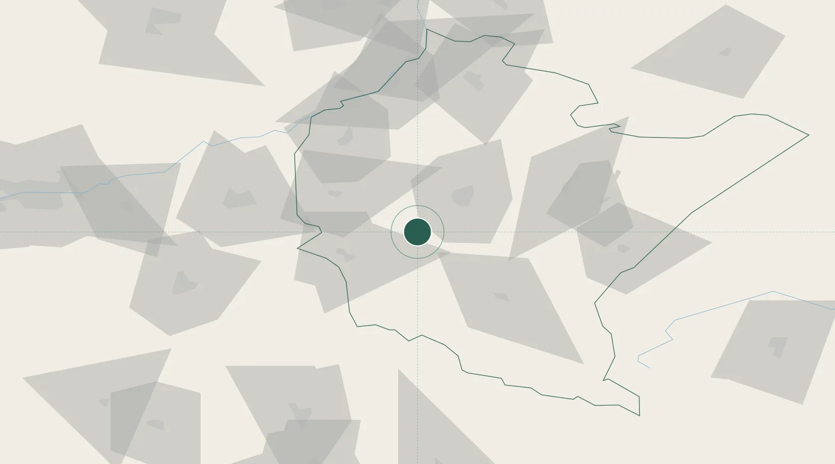
Location
Nearby Logistics Neighbours
Cities
- 1Boguchwala16 km
- 2Iwierzyce17 km
- 3Tarnowiec23 km
- 4Rzeszów25 km
- 5Jaslo27 km
Ports
- 1Gdansk542 km
- 2Kaliningrad545 km
- 3Baltiysk546 km
- 4Nowy Port549 km
- 5Gdynia564 km
Airports
Trade Zones
DatabookThe Record of Consolidated Knowledge
Poland beyond logistics?