Transport Functions
Rail
Road
Hub Profile
Place type
District seat
Region
Subcarpathia
Population
1,200
Time zone
Europe/Warsaw
Elevation
269 m
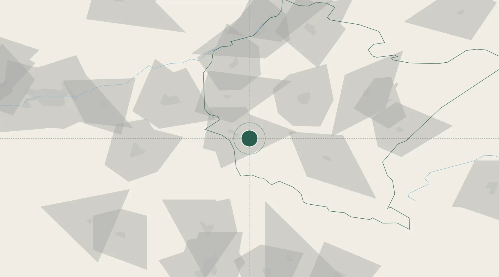
Location
Nearby Logistics Neighbours
Cities
- 1Jaslo9 km
- 2Skolyszyn17 km
- 3Strzyzow23 km
- 4Iwierzyce36 km
- 5Boguchwala38 km
Ports
- 1Gdansk552 km
- 2Baltiysk559 km
- 3Kaliningrad559 km
- 4Nowy Port559 km
- 5Gdynia574 km
Airports
Trade Zones
DatabookThe Record of Consolidated Knowledge
Poland beyond logistics?