Transport Functions
Rail
Road
Hub Profile
Place type
Provincial seat
Region
Subcarpathia
Population
9,610
Time zone
Europe/Warsaw
Elevation
462 m
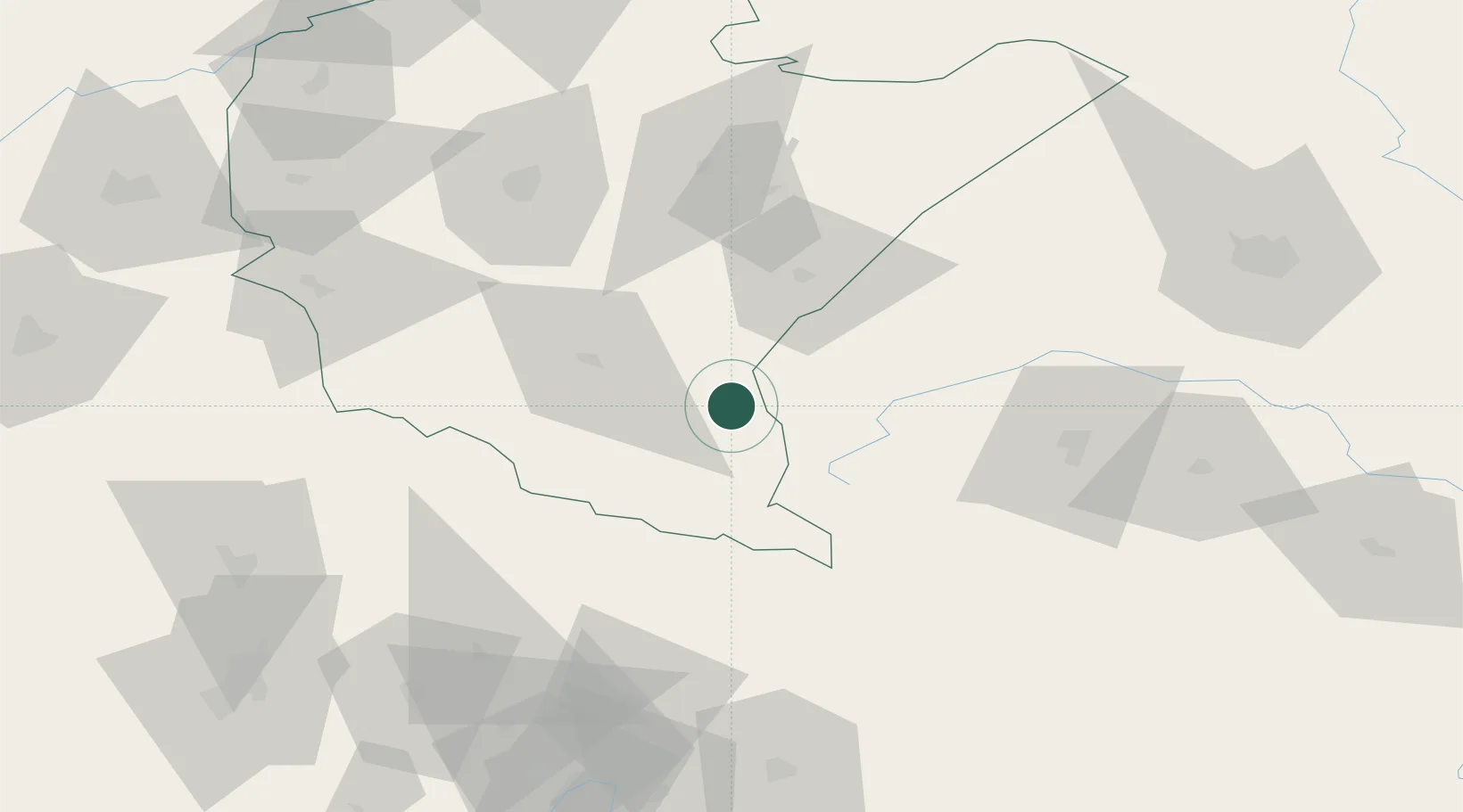
Location
Nearby Logistics Neighbours
Cities
- 1Zagórz25 km
- 2Medyka48 km
- 3Orly52 km
- 4Mostiska52 km
- 5Jawornik Polski58 km
Ports
- 1Kaliningrad603 km
- 2Baltiysk607 km
- 3Galati609 km
- 4Gdansk609 km
- 5Nowy Port616 km
Airports
Trade Zones
DatabookThe Record of Consolidated Knowledge
Poland beyond logistics?