Transport Functions
Rail
Road
Hub Profile
Place type
Provincial seat
Region
Łódź Voivodeship
Population
70,542
Time zone
Europe/Warsaw
Elevation
179 m
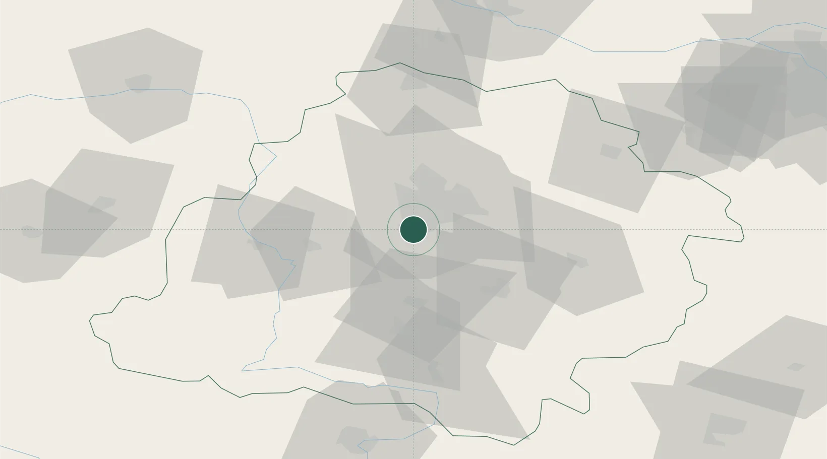
Location
Nearby Logistics Neighbours
Cities
- 1Ksawerów5 km
- 2Wola Zaradzynska6 km
- 3Lutomiersk14 km
- 4Aleksandrów Lodzki17 km
- 5Kruszow18 km
Ports
- 1Gdansk302 km
- 2Nowy Port309 km
- 3Gdynia323 km
- 4Baltiysk332 km
- 5Kaliningrad346 km
Airports
Trade Zones
DatabookThe Record of Consolidated Knowledge
Poland beyond logistics?