UN/LOCODE hub · Poland
PLWFR

Wolka Folwark

52.6667°, 21.3000°
1
Transport functions

Transport Functions

Multimodal
UN/LOCODE

Hub Profile

Region
14
GeoNames

Location

Location of PLWFR
Natural Earth 10m (public domain) · 14 · PLWFR · 52.67, 21.30GoogleOSMYandex

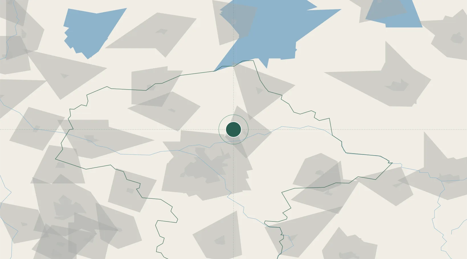
Nearby Logistics Neighbours

Cities
  1. 1Wyszków14 km
  2. 2Radzymin30 km
  3. 3Wólka Radzyminska31 km
  4. 4Nieporet31 km
  5. 5Duczki33 km
Nearest neighbours — logibook spatial index (haversine) over the source coordinates
Ports
  1. 1Kaliningrad232 km
  2. 2Baltiysk237 km
  3. 3Gdansk256 km
  4. 4Nowy Port261 km
  5. 5Gdynia276 km
Nearest neighbours — logibook spatial index (haversine) over the source coordinates
Airports
  1. 1Warsaw Modlin Airport50 km
  2. 2Minsk Mazowiecki Military Air Base58 km
  3. 3Warsaw Chopin Airport60 km
  4. 4Olsztyn-Mazury Airport94 km
  5. 5Deblin Military Air Base131 km
Nearest neighbours — logibook spatial index (haversine) over the source coordinates
Trade Zones
  1. 1Warsaw Airport Duty Free Zone60 km
  2. 2East-West Duty Free Zone94 km
  3. 3Warmian-Masurian SEZ (Warmińsko-Mazurska SSE)135 km
  4. 4Łódź SEZ (ōódzka SSE)160 km
  5. 5Free Customs Area in Małaszewicze166 km
Nearest neighbours — logibook spatial index (haversine) over the source coordinates
DatabookThe Record of Consolidated Knowledge
Poland beyond logistics?
Browse databook

All Sources

LocationsUN/LOCODE
UN/LOCODE — free
Portsthe NGA World Port Index
Public domain (US gov)
AirportsOurAirports
Public domain
Trade Zonesthe World Bank SEZ database
CC BY 4.0
Trade ZonesOpen Zone Map
CC BY
← Poland locations