Transport Functions
Port
Rail
Road
Hub Profile
Place type
Populated place
Region
Lubusz
Time zone
Europe/Warsaw
Elevation
37 m
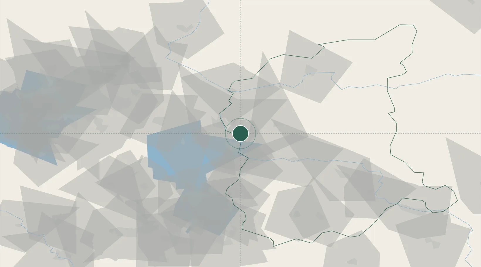
Location
Nearby Logistics Neighbours
Cities
- 1Slubice, Lubuskie12 km
- 2Rzepin12 km
- 3Eisenhüttenstadt13 km
- 4Frankfurt/Oder16 km
- 5Müllrose19 km
Ports
- 1Szczecin128 km
- 2Police145 km
- 3Swinoujscie186 km
- 4Wolgast208 km
- 5Kolobrzeg224 km
Airports
- 1Zielona Góra-Babimost Airport76 km
- 2Berlin Brandenburg Airport82 km
- 3Rothenburg/Görlitz Airfield102 km
- 4Holzdorf Air Base119 km
- 5Dresden Airport141 km
Trade Zones
- 1Kostrzyń-Słubice SEZ37 km
- 2Szczecin Duty Free Zone129 km
- 3Legnica SEZ (Legnicka SSE)139 km
- 4Swinoujscie Duty Free Zone184 km
- 5Kamienna Góra189 km
DatabookThe Record of Consolidated Knowledge
Poland beyond logistics?