Transport Functions
Port
Rail
Road
Hub Profile
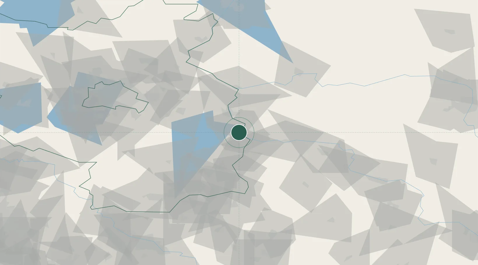
Region
BB
Location
Nearby Logistics Neighbours
Cities
- 1Urad13 km
- 2Müllrose19 km
- 3Schenkendobern22 km
- 4Slubice, Lubuskie23 km
- 5Guben23 km
Ports
- 1Szczecin141 km
- 2Police158 km
- 3Swinoujscie198 km
- 4Wolgast219 km
- 5Kolobrzeg238 km
Airports
- 1Zielona Góra-Babimost Airport78 km
- 2Berlin Brandenburg Airport82 km
- 3Rothenburg/Görlitz Airfield90 km
- 4Holzdorf Air Base110 km
- 5Dresden Airport128 km
Trade Zones
- 1Kostrzyń-Słubice SEZ50 km
- 2Legnica SEZ (Legnicka SSE)131 km
- 3Szczecin Duty Free Zone141 km
- 4Kamienna Góra179 km
- 5Wałbrzych SEZ INVEST-PARK (Wałbrzyska SSE)187 km
DatabookThe Record of Consolidated Knowledge
Germany beyond logistics?