UN/LOCODE hub · Germany
DEFFO
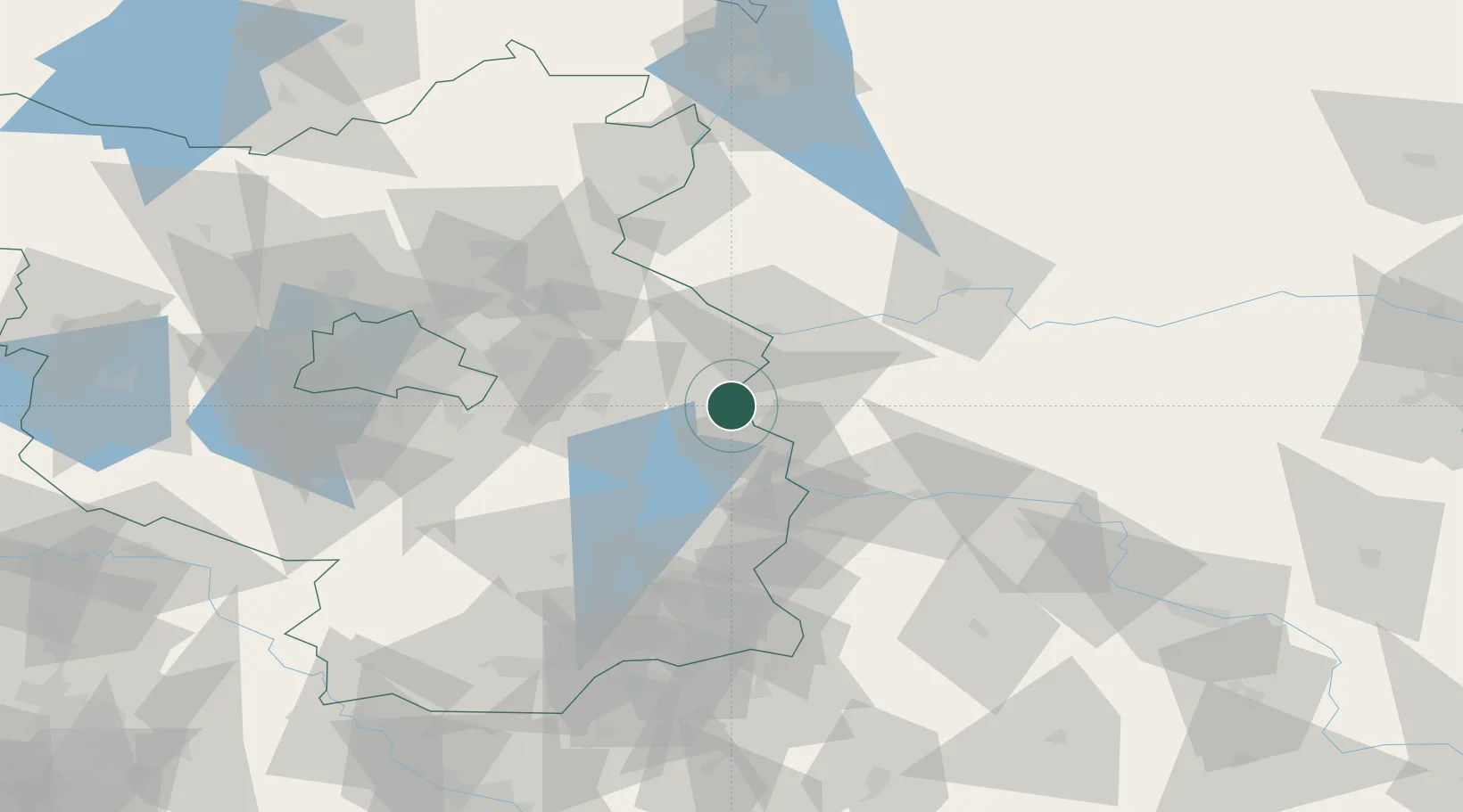
Frankfurt/Oder
52.3546°, 14.5102°
57,015
Population
3
Transport functions
Transport Functions
Port
Rail
Road
Hub Profile
Place type
Populated place
Region
Brandenburg
Population
57,015
Time zone
Europe/Berlin
Elevation
28 m
Logistics facilities
1
Location
Nearby Logistics Neighbours
Cities
- 1Slubice, Lubuskie5 km
- 2Jacobsdorf12 km
- 3Müllrose13 km
- 4Urad16 km
- 5Rzepin21 km
Ports
- 1Szczecin118 km
- 2Police135 km
- 3Swinoujscie175 km
- 4Wolgast195 km
- 5Kolobrzeg218 km
Airports
Trade Zones
- 1Kostrzyń-Słubice SEZ28 km
- 2Szczecin Duty Free Zone119 km
- 3Legnica SEZ (Legnicka SSE)154 km
- 4Swinoujscie Duty Free Zone172 km
- 5Kamienna Góra203 km
DatabookThe Record of Consolidated Knowledge
Germany beyond logistics?