Transport Functions
Rail
Road
Hub Profile
Region
08
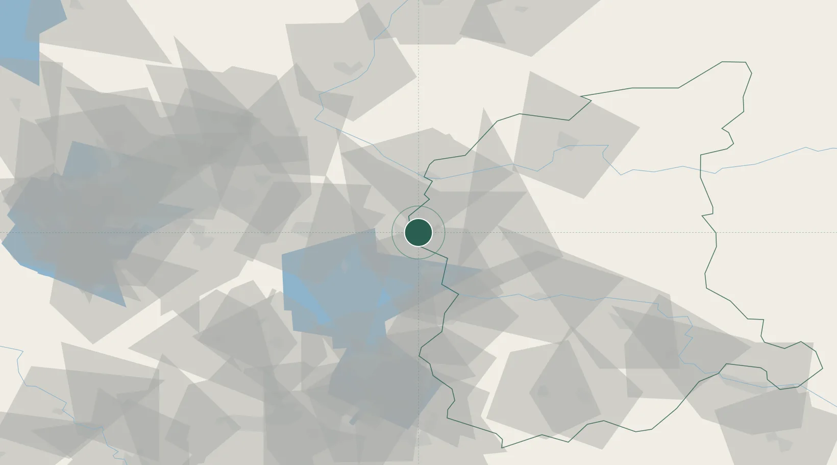
Location
Nearby Logistics Neighbours
Cities
- 1Frankfurt/Oder5 km
- 2Urad12 km
- 3Rzepin16 km
- 4Müllrose16 km
- 5Jacobsdorf17 km
Ports
- 1Szczecin119 km
- 2Police135 km
- 3Swinoujscie176 km
- 4Wolgast196 km
- 5Kolobrzeg217 km
Airports
Trade Zones
- 1Kostrzyń-Słubice SEZ28 km
- 2Szczecin Duty Free Zone119 km
- 3Legnica SEZ (Legnicka SSE)151 km
- 4Swinoujscie Duty Free Zone173 km
- 5Kamienna Góra201 km
DatabookThe Record of Consolidated Knowledge
Poland beyond logistics?