Transport Functions
Rail
Road
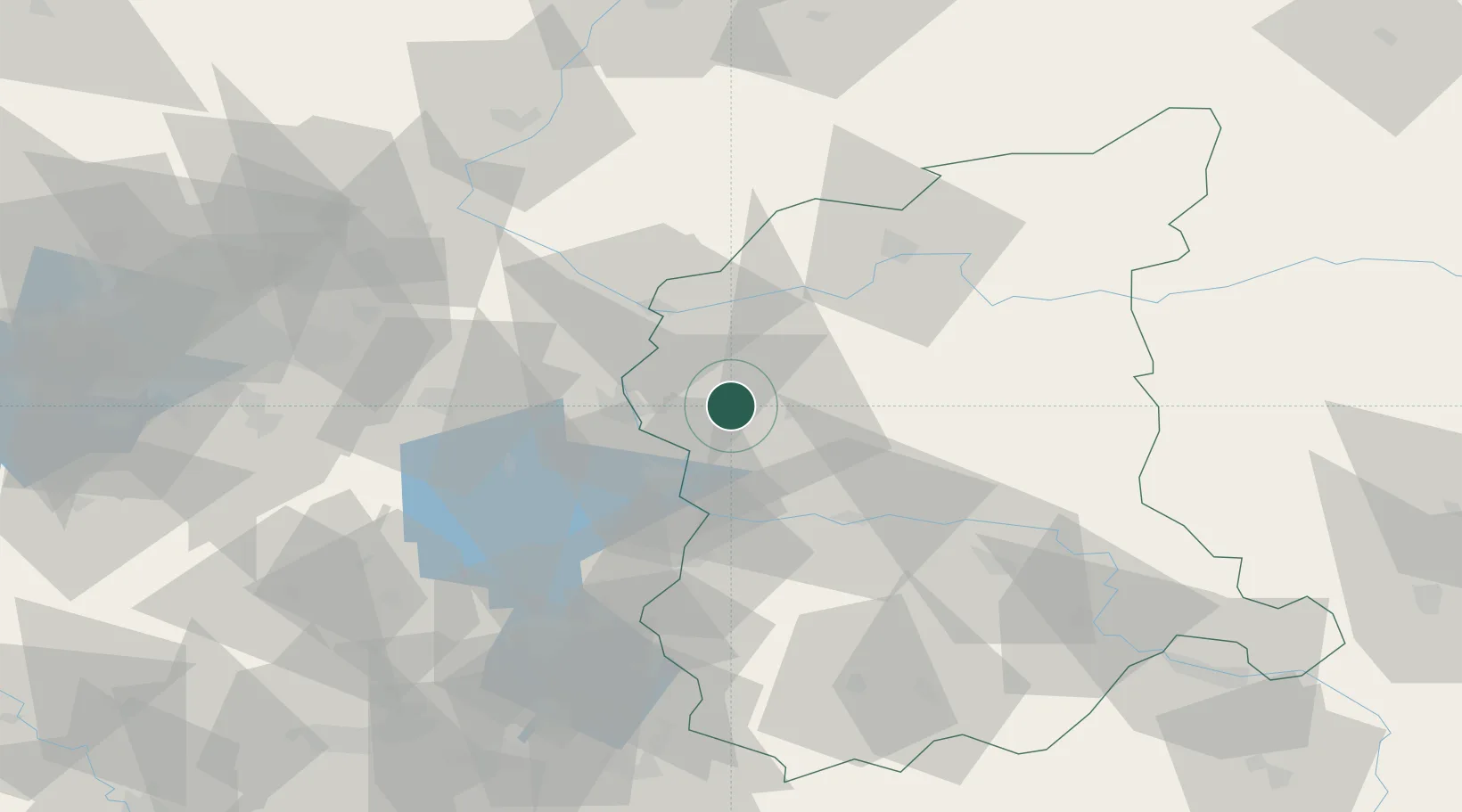
Hub Profile
Place type
District seat
Region
Lubusz
Population
6,488
Time zone
Europe/Warsaw
Elevation
59 m
Location
Nearby Logistics Neighbours
Cities
- 1Osno Lubuskie12 km
- 2Urad12 km
- 3Slubice, Lubuskie16 km
- 4Frankfurt/Oder21 km
- 5Eisenhüttenstadt25 km
Ports
- 1Szczecin120 km
- 2Police136 km
- 3Swinoujscie178 km
- 4Wolgast201 km
- 5Kolobrzeg213 km
Airports
- 1Zielona Góra-Babimost Airport71 km
- 2Berlin Brandenburg Airport89 km
- 3Rothenburg/Görlitz Airfield110 km
- 4Holzdorf Air Base130 km
- 5Poznań-Ławica Airport136 km
Trade Zones
- 1Kostrzyń-Słubice SEZ30 km
- 2Szczecin Duty Free Zone120 km
- 3Legnica SEZ (Legnicka SSE)142 km
- 4Swinoujscie Duty Free Zone176 km
- 5Kamienna Góra193 km
DatabookThe Record of Consolidated Knowledge
Poland beyond logistics?