Transport Functions
Rail
Road
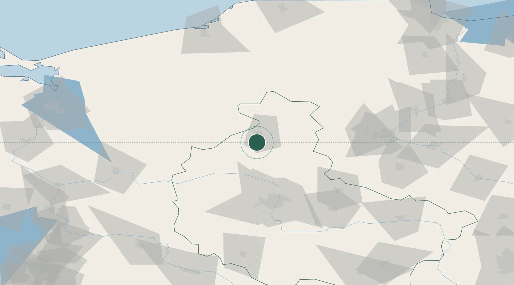
Hub Profile
Place type
District seat
Region
Greater Poland
Population
3,869
Time zone
Europe/Warsaw
Elevation
52 m
Location
Nearby Logistics Neighbours
Airports
Trade Zones
- 1Kostrzyń-Słubice SEZ149 km
- 2Szczecin Duty Free Zone150 km
- 3Słupsk SEZ (Słupska SSE)158 km
- 4Pomeranian SEZ (Pomorska SSE)167 km
- 5Swinoujscie Duty Free Zone188 km
DatabookThe Record of Consolidated Knowledge
Poland beyond logistics?