Transport Functions
Rail
Road
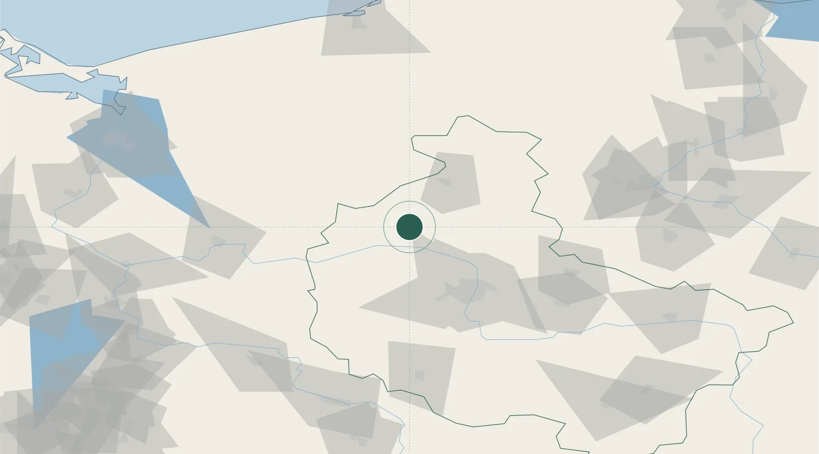
Hub Profile
Place type
District seat
Region
Greater Poland
Population
2,861
Time zone
Europe/Warsaw
Elevation
80 m
Location
Nearby Logistics Neighbours
Ports
- 1Szczecin146 km
- 2Police152 km
- 3Kolobrzeg165 km
- 4Darlowo176 km
- 5Swinoujscie191 km
Airports
Trade Zones
- 1Kostrzyń-Słubice SEZ130 km
- 2Szczecin Duty Free Zone144 km
- 3Legnica SEZ (Legnicka SSE)179 km
- 4Słupsk SEZ (Słupska SSE)183 km
- 5Swinoujscie Duty Free Zone189 km
DatabookThe Record of Consolidated Knowledge
Poland beyond logistics?