Transport Functions
Rail
Road
Hub Profile
Place type
District seat
Region
West Pomerania
Population
25,971
Time zone
Europe/Warsaw
Elevation
112 m
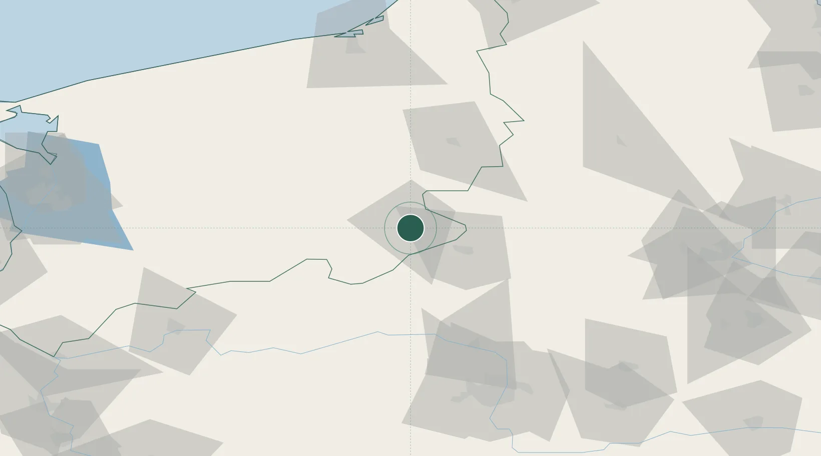
Location
Nearby Logistics Neighbours
Cities
- 1Tuczno23 km
- 2Miroslawiec26 km
- 3Ujscie30 km
- 4Czlopa31 km
- 5Zalom34 km
Airports
Trade Zones
- 1Szczecin Duty Free Zone127 km
- 2Słupsk SEZ (Słupska SSE)138 km
- 3Kostrzyń-Słubice SEZ143 km
- 4Pomeranian SEZ (Pomorska SSE)159 km
- 5Swinoujscie Duty Free Zone161 km
DatabookThe Record of Consolidated Knowledge
Poland beyond logistics?