Transport Functions
Multimodal
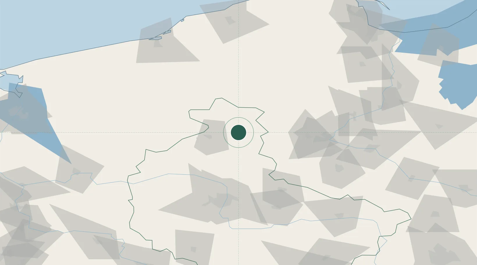
Hub Profile
Place type
District seat
Region
Greater Poland
Population
2,728
Time zone
Europe/Warsaw
Elevation
104 m
Location
Nearby Logistics Neighbours
Airports
Trade Zones
- 1Pomeranian SEZ (Pomorska SSE)140 km
- 2Słupsk SEZ (Słupska SSE)141 km
- 3Gdansk Port Duty Free Zone169 km
- 4Szczecin Duty Free Zone170 km
- 5Kostrzyń-Słubice SEZ178 km
DatabookThe Record of Consolidated Knowledge
Poland beyond logistics?