Transport Functions
Rail
Road
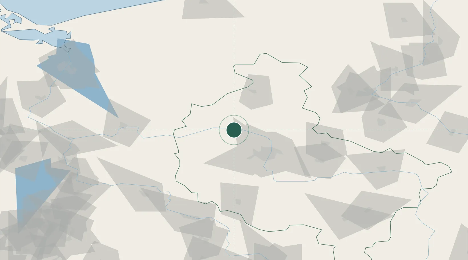
Hub Profile
Place type
District seat
Region
Greater Poland
Population
2,226
Time zone
Europe/Warsaw
Elevation
47 m
Location
Nearby Logistics Neighbours
Cities
- 1Szamotuly10 km
- 2Lubasz17 km
- 3Lulinek19 km
- 4Czarnków22 km
- 5Rokietnica25 km
Ports
- 1Szczecin155 km
- 2Police163 km
- 3Kolobrzeg181 km
- 4Darlowo193 km
- 5Swinoujscie202 km
Airports
Trade Zones
- 1Kostrzyń-Słubice SEZ128 km
- 2Szczecin Duty Free Zone154 km
- 3Legnica SEZ (Legnicka SSE)163 km
- 4Słupsk SEZ (Słupska SSE)199 km
- 5Swinoujscie Duty Free Zone201 km
DatabookThe Record of Consolidated Knowledge
Poland beyond logistics?