Transport Functions
Road
Multimodal
Hub Profile
Place type
District seat
Region
West Pomerania
Population
2,507
Time zone
Europe/Warsaw
Elevation
69 m
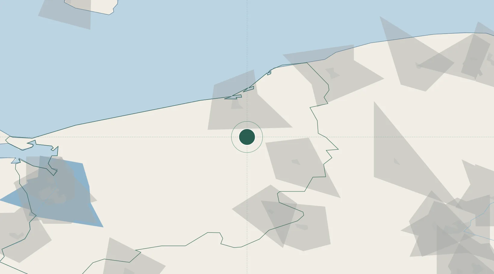
Location
Nearby Logistics Neighbours
Cities
- 1Bialogard21 km
- 2Polczyn-Zdrój24 km
- 3Karlino28 km
- 4Mierzyn32 km
- 5Polanów34 km
Airports
Trade Zones
- 1Słupsk SEZ (Słupska SSE)77 km
- 2Szczecin Duty Free Zone125 km
- 3Pomeranian SEZ (Pomorska SSE)129 km
- 4Swinoujscie Duty Free Zone131 km
- 5Gdansk Port Duty Free Zone164 km
DatabookThe Record of Consolidated Knowledge
Poland beyond logistics?