Transport Functions
Port
Multimodal
Hub Profile
Place type
District seat
Region
West Pomerania
Population
2,960
Time zone
Europe/Warsaw
Elevation
79 m
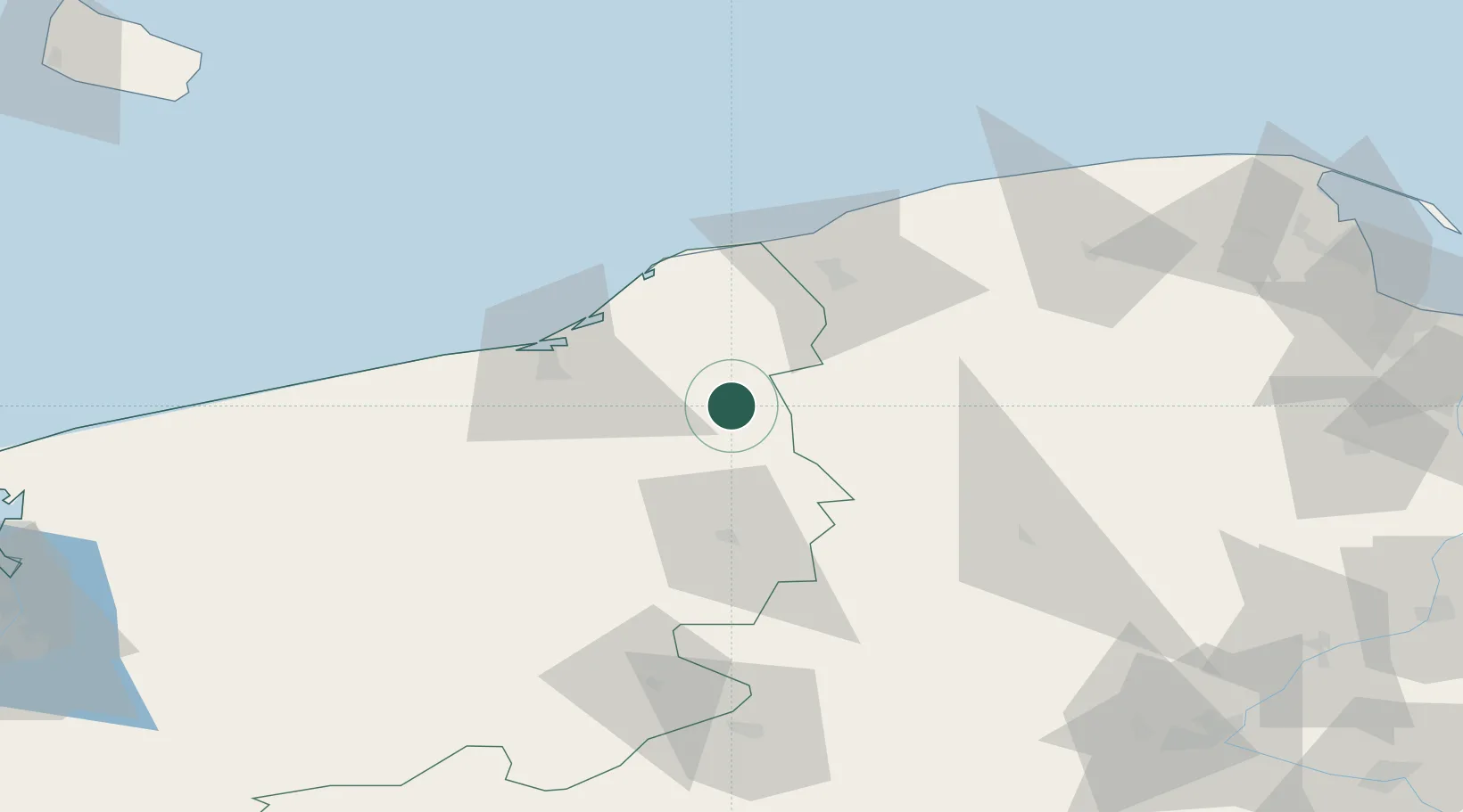
Location
Nearby Logistics Neighbours
Cities
- 1Miastko21 km
- 2Korzybie25 km
- 3Tychowo34 km
- 4Sycewice37 km
- 5Kolczyglowy38 km
Airports
Trade Zones
- 1Słupsk SEZ (Słupska SSE)46 km
- 2Pomeranian SEZ (Pomorska SSE)97 km
- 3Gdansk Port Duty Free Zone131 km
- 4Szczecin Duty Free Zone159 km
- 5Swinoujscie Duty Free Zone160 km
DatabookThe Record of Consolidated Knowledge
Poland beyond logistics?