Transport Functions
Multimodal
Hub Profile
Region
14
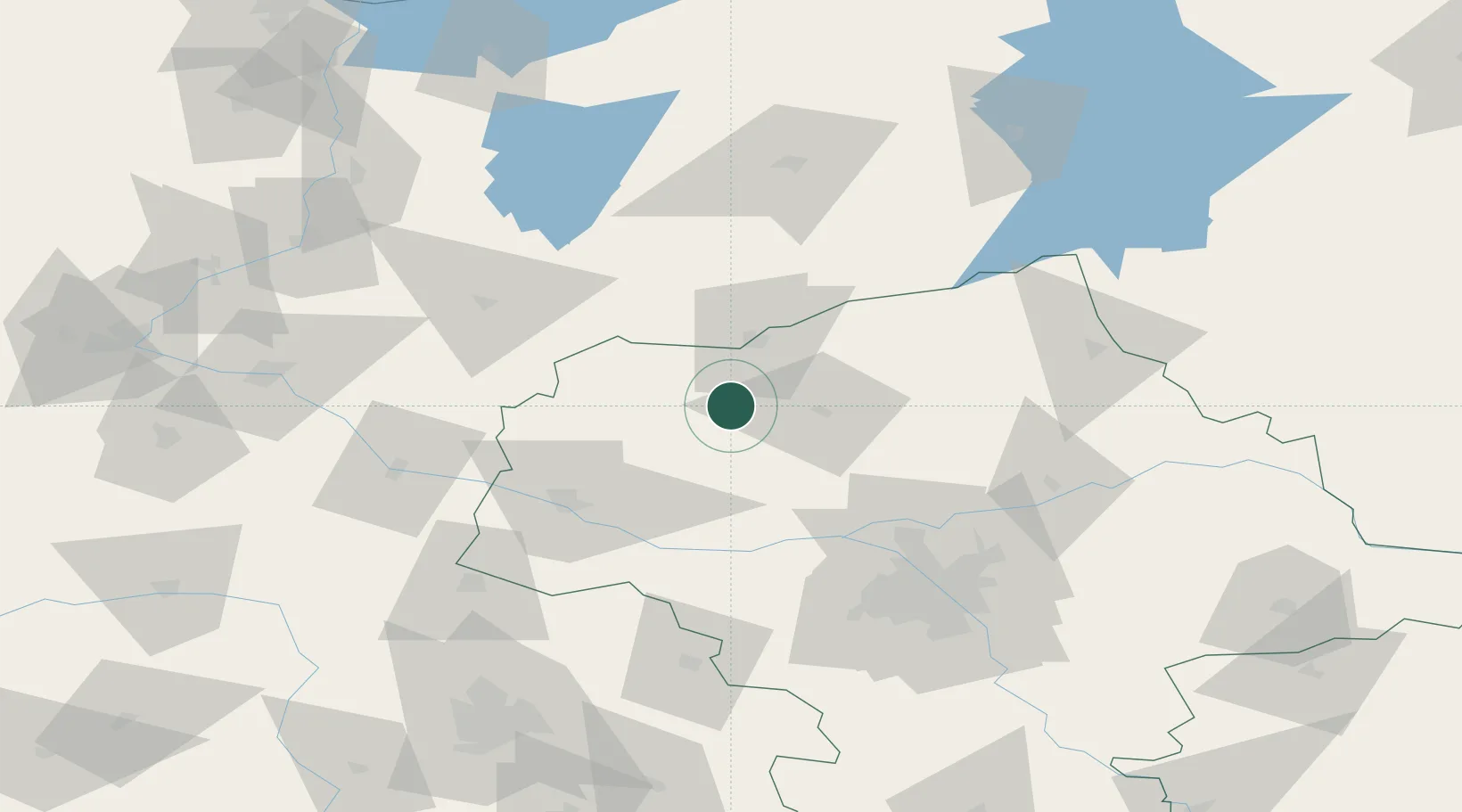
Location
Nearby Logistics Neighbours
Ports
- 1Gdansk193 km
- 2Baltiysk194 km
- 3Nowy Port200 km
- 4Kaliningrad201 km
- 5Gdynia214 km
Airports
- 1Warsaw Modlin Airport56 km
- 2Olsztyn-Mazury Airport78 km
- 3Warsaw Chopin Airport94 km
- 4Minsk Mazowiecki Military Air Base121 km
- 5Leźnica Wielka Air Base126 km
Trade Zones
DatabookThe Record of Consolidated Knowledge
Poland beyond logistics?