Transport Functions
Port
Multimodal
Hub Profile
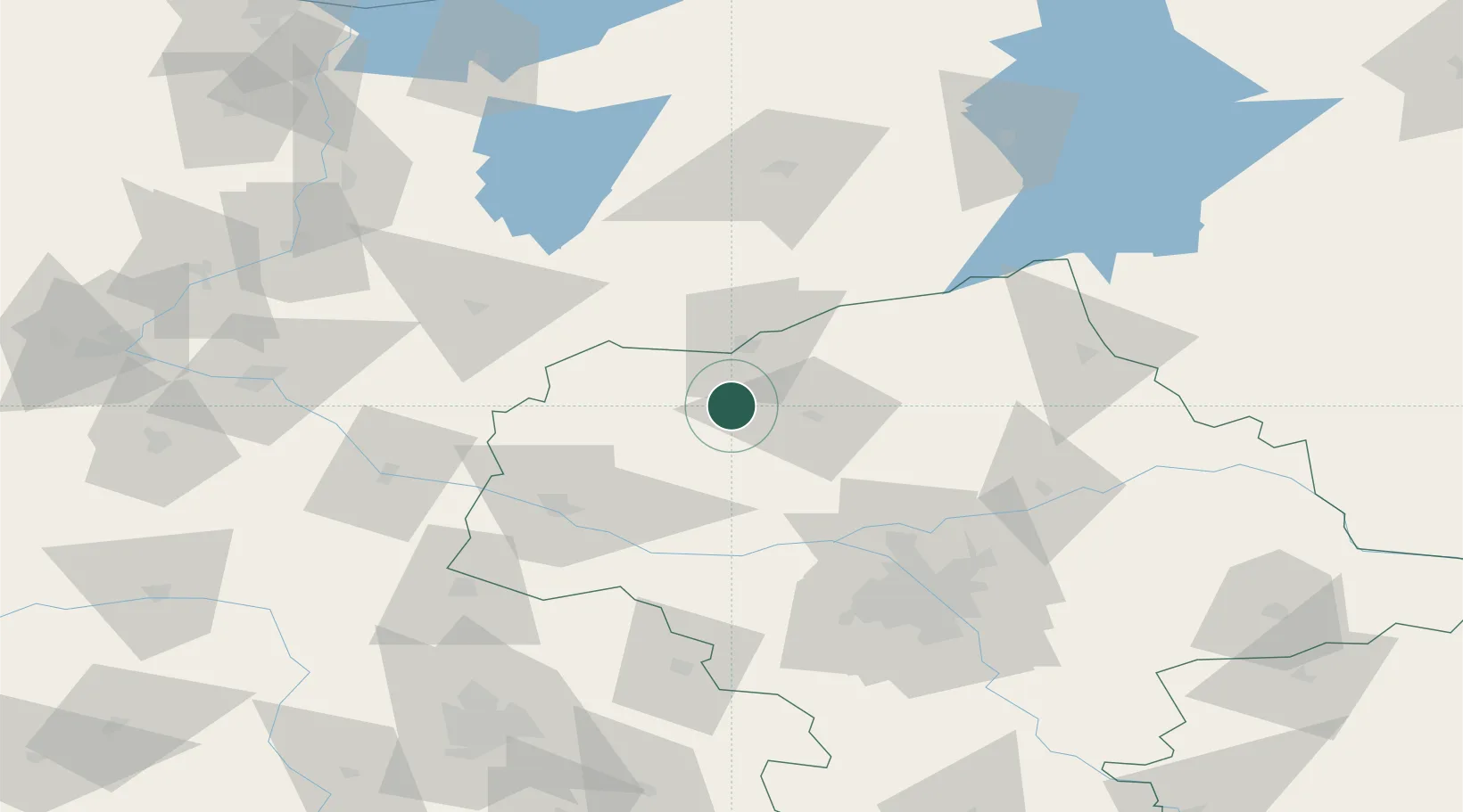
Place type
Populated place
Region
Mazovia
Time zone
Europe/Warsaw
Elevation
120 m
Location
Nearby Logistics Neighbours
Cities
- 1Strzegowo-Osada3 km
- 2Ilowo30 km
- 3Narzym30 km
- 4Sonsk31 km
- 5Przasnysz40 km
Ports
- 1Baltiysk193 km
- 2Gdansk193 km
- 3Kaliningrad199 km
- 4Nowy Port199 km
- 5Gdynia214 km
Airports
- 1Warsaw Modlin Airport57 km
- 2Olsztyn-Mazury Airport75 km
- 3Warsaw Chopin Airport94 km
- 4Minsk Mazowiecki Military Air Base121 km
- 5Leźnica Wielka Air Base129 km
Trade Zones
DatabookThe Record of Consolidated Knowledge
Poland beyond logistics?