Transport Functions
Rail
Road
Hub Profile
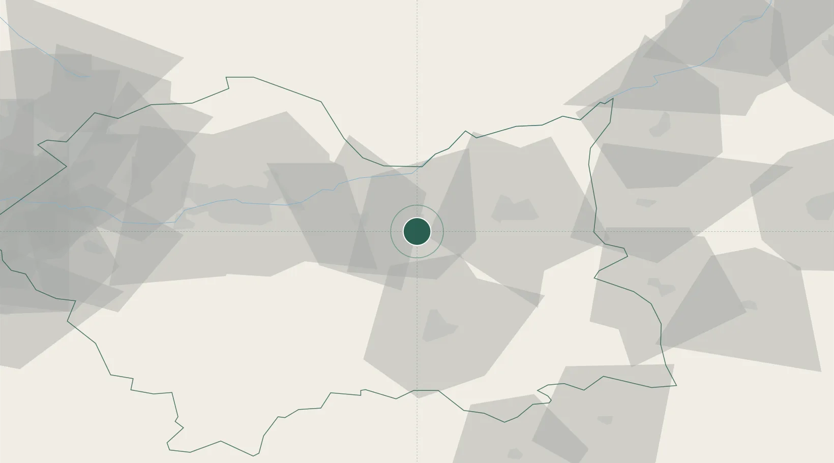
Place type
Populated place
Region
Lesser Poland
Population
1,900
Time zone
Europe/Warsaw
Elevation
349 m
Location
Nearby Logistics Neighbours
Cities
- 1Wojnicz16 km
- 2Stanislawice19 km
- 3Klaj22 km
- 4Zbylitowska Gora22 km
- 5Ploxo24 km
Ports
- 1Gdansk507 km
- 2Nowy Port514 km
- 3Baltiysk523 km
- 4Kaliningrad528 km
- 5Gdynia529 km
Airports
Trade Zones
DatabookThe Record of Consolidated Knowledge
Poland beyond logistics?