Transport Functions
Rail
Road
Multimodal
Hub Profile
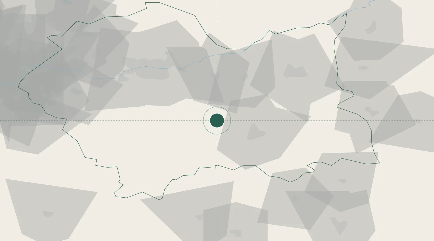
Place type
Populated place
Region
Lesser Poland
Population
14,738
Time zone
Europe/Warsaw
Elevation
408 m
Location
Nearby Logistics Neighbours
Ports
- 1Gdansk531 km
- 2Nowy Port538 km
- 3Baltiysk550 km
- 4Gdynia553 km
- 5Kaliningrad556 km
Airports
Trade Zones
DatabookThe Record of Consolidated Knowledge
Poland beyond logistics?