Transport Functions
Rail
Road
Multimodal
Hub Profile
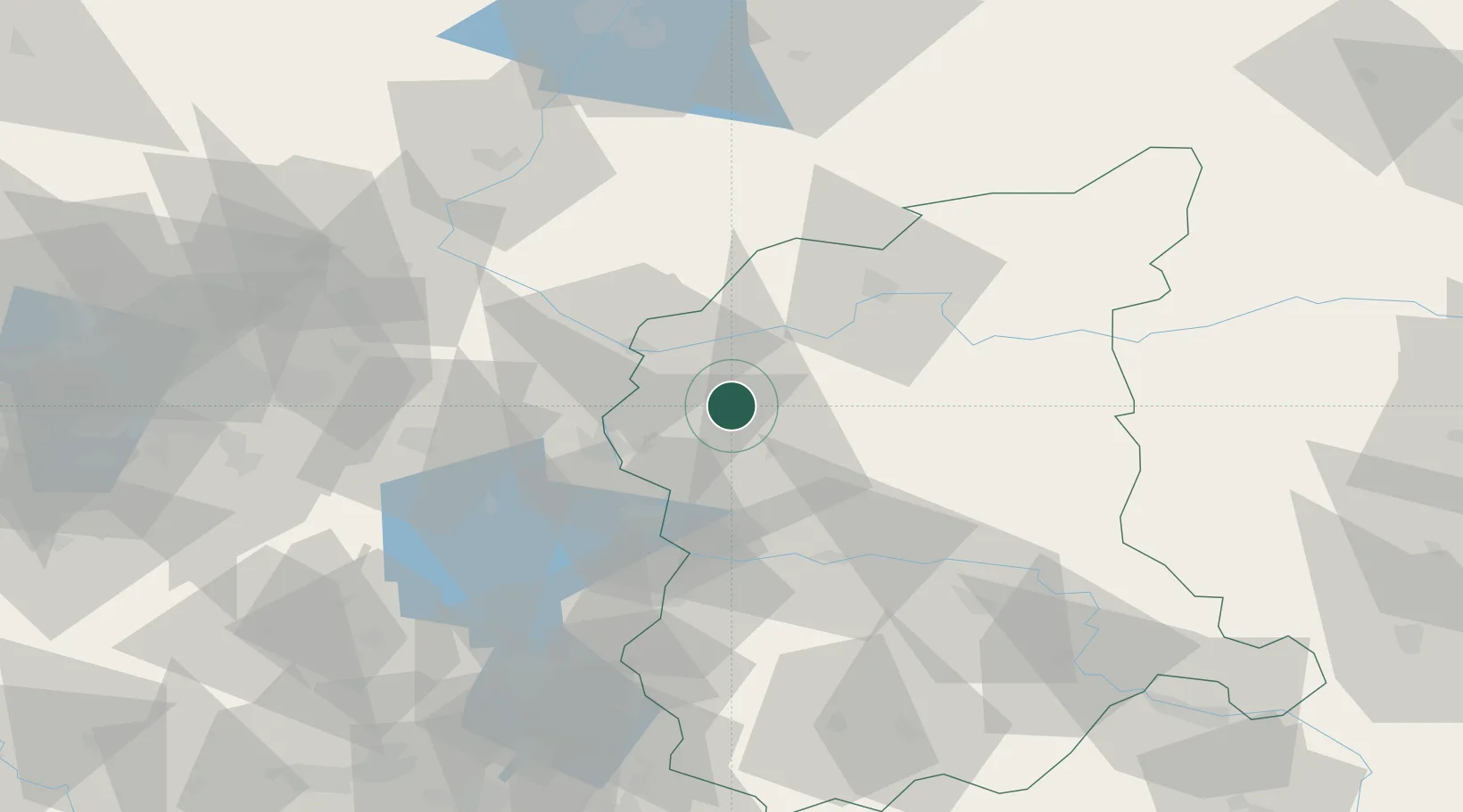
Place type
District seat
Region
Lubusz
Population
3,730
Time zone
Europe/Warsaw
Elevation
46 m
Location
Nearby Logistics Neighbours
Cities
- 1Rzepin12 km
- 2Kostrzyn21 km
- 3Kietz21 km
- 4Küstriner Vorland21 km
- 5Slubice, Lubuskie22 km
Ports
- 1Szczecin110 km
- 2Police126 km
- 3Swinoujscie168 km
- 4Wolgast192 km
- 5Kolobrzeg202 km
Airports
Trade Zones
- 1Kostrzyń-Słubice SEZ22 km
- 2Szczecin Duty Free Zone110 km
- 3Legnica SEZ (Legnicka SSE)149 km
- 4Swinoujscie Duty Free Zone166 km
- 5Kamienna Góra202 km
DatabookThe Record of Consolidated Knowledge
Poland beyond logistics?