UN/LOCODE hub · Poland
PLGLE
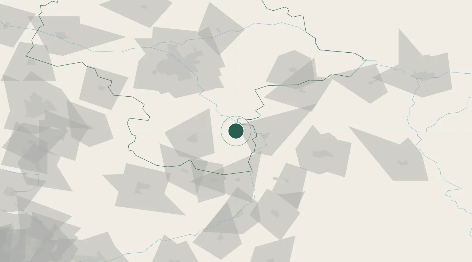
Garbatka-Letnisko
51.5000°, 21.6333°
3,295
Population
2
Transport functions
Transport Functions
Rail
Road
Hub Profile
Place type
District seat
Region
Mazovia
Population
3,295
Time zone
Europe/Warsaw
Elevation
153 m
Location
Nearby Logistics Neighbours
Ports
- 1Kaliningrad364 km
- 2Baltiysk367 km
- 3Gdansk374 km
- 4Nowy Port380 km
- 5Gdynia395 km
Airports
- 1Deblin Military Air Base19 km
- 2Warsaw Radom Airport32 km
- 3Minsk Mazowiecki Military Air Base77 km
- 4Lublin Airport80 km
- 5Warsaw Chopin Airport87 km
DatabookThe Record of Consolidated Knowledge
Poland beyond logistics?