Transport Functions
Rail
Road
Hub Profile
Place type
Provincial seat
Region
Lublin
Population
49,759
Time zone
Europe/Warsaw
Elevation
137 m
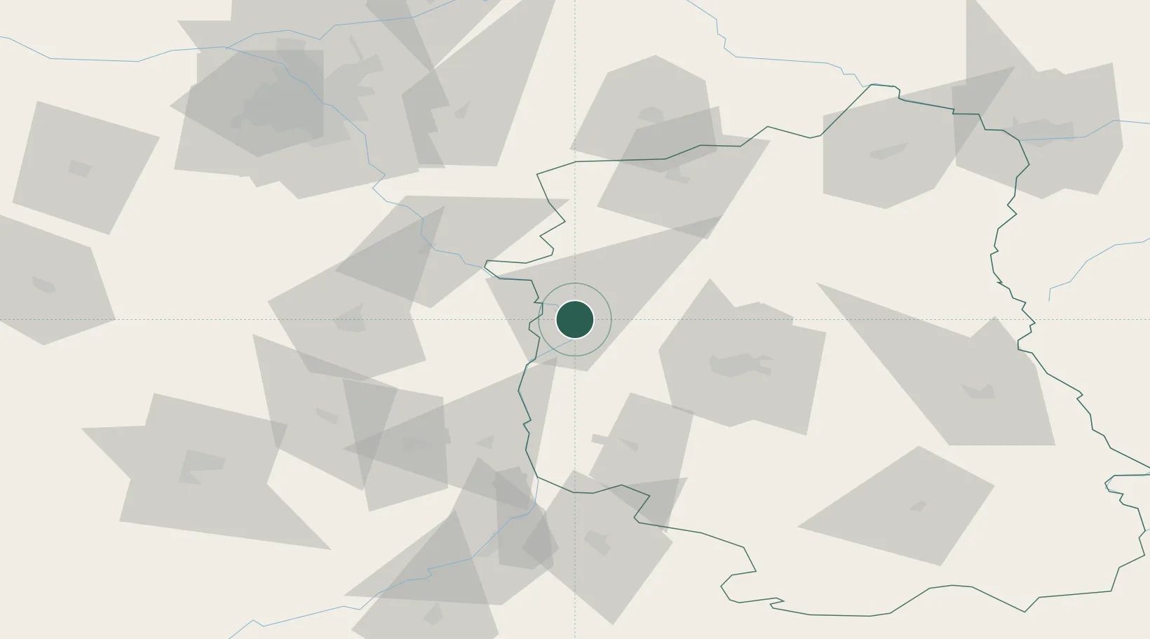
Location
Nearby Logistics Neighbours
Cities
- 1Konskowola5 km
- 2Janowiec12 km
- 3Wawolnica17 km
- 4Hutton22 km
- 5Ryki24 km
Ports
- 1Kaliningrad379 km
- 2Baltiysk384 km
- 3Gdansk395 km
- 4Nowy Port401 km
- 5Gdynia416 km
Airports
- 1Deblin Military Air Base16 km
- 2Warsaw Radom Airport53 km
- 3Lublin Airport54 km
- 4Minsk Mazowiecki Military Air Base90 km
- 5Warsaw Chopin Airport109 km
DatabookThe Record of Consolidated Knowledge
Poland beyond logistics?