Transport Functions
Port
Road
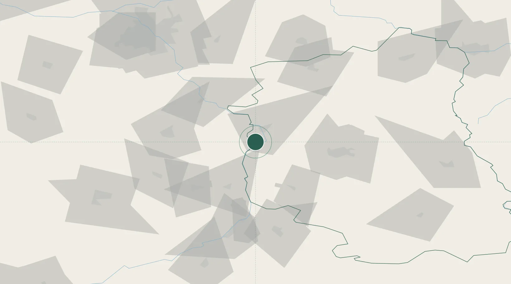
Hub Profile
Place type
District seat
Region
Lublin
Population
1,000
Time zone
Europe/Warsaw
Elevation
125 m
Location
Nearby Logistics Neighbours
Cities
- 1Pulawy12 km
- 2Konskowola15 km
- 3Wawolnica18 km
- 4Policzna22 km
- 5Garbatka-Letnisko25 km
Ports
- 1Kaliningrad386 km
- 2Baltiysk390 km
- 3Gdansk399 km
- 4Nowy Port405 km
- 5Gdynia420 km
Airports
- 1Deblin Military Air Base24 km
- 2Warsaw Radom Airport47 km
- 3Lublin Airport59 km
- 4Minsk Mazowiecki Military Air Base97 km
- 5Warsaw Chopin Airport112 km
Trade Zones
DatabookThe Record of Consolidated Knowledge
Poland beyond logistics?