Transport Functions
Rail
Road
Hub Profile
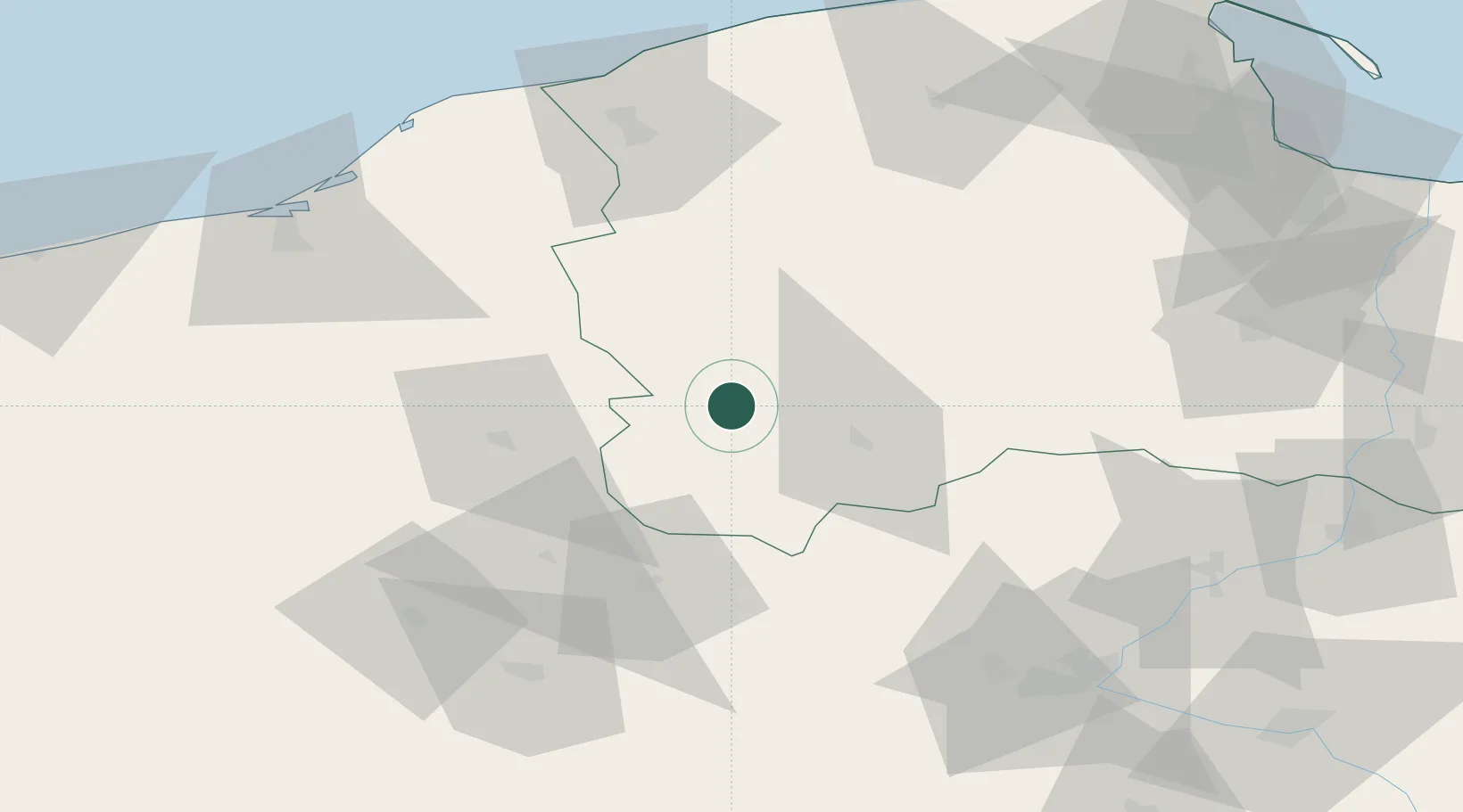
Place type
Populated place
Region
Pomerania
Population
2,826
Time zone
Europe/Warsaw
Elevation
149 m
Location
Nearby Logistics Neighbours
Cities
- 1Charzykowy19 km
- 2Miastko29 km
- 3Rytel36 km
- 4Slupy43 km
- 5Borzytuchom45 km
Airports
Trade Zones
- 1Słupsk SEZ (Słupska SSE)75 km
- 2Pomeranian SEZ (Pomorska SSE)81 km
- 3Gdansk Port Duty Free Zone114 km
- 4Szczecin Duty Free Zone182 km
- 5Swinoujscie Duty Free Zone195 km
DatabookThe Record of Consolidated Knowledge
Poland beyond logistics?