Transport Functions
Rail
Road
Hub Profile
Place type
Populated place
Region
Pomerania
Time zone
Europe/Warsaw
Elevation
125 m
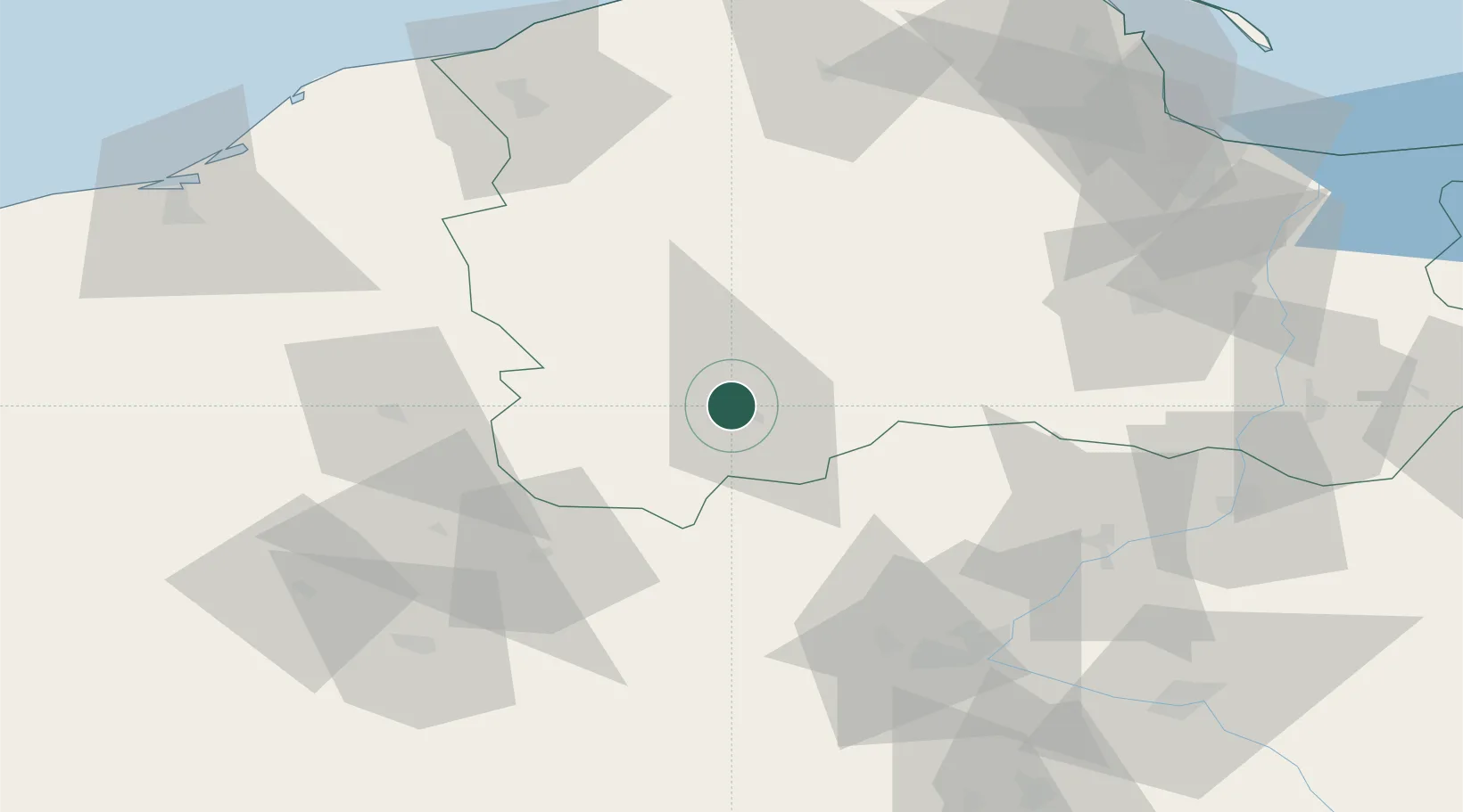
Location
Nearby Logistics Neighbours
Cities
- 1Rytel18 km
- 2Przechlewo19 km
- 3Slupy24 km
- 4Czersk Pomorski30 km
- 5Sliwice44 km
Airports
Trade Zones
- 1Pomeranian SEZ (Pomorska SSE)75 km
- 2Słupsk SEZ (Słupska SSE)87 km
- 3Gdansk Port Duty Free Zone105 km
- 4Szczecin Duty Free Zone198 km
- 5Swinoujscie Duty Free Zone214 km
DatabookThe Record of Consolidated Knowledge
Poland beyond logistics?