Transport Functions
Rail
Road
Hub Profile
Place type
Populated place
Region
Kujawsko-Pomorskie
Time zone
Europe/Warsaw
Elevation
140 m
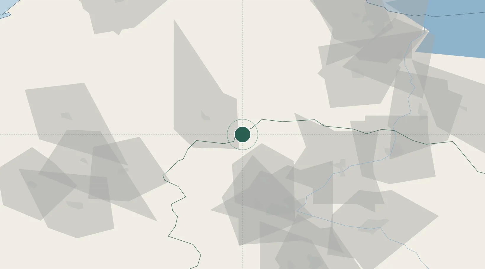
Location
Nearby Logistics Neighbours
Cities
- 1Rytel17 km
- 2Czersk Pomorski23 km
- 3Charzykowy24 km
- 4Sliwice28 km
- 5Koronowo33 km
Airports
Trade Zones
- 1Pomeranian SEZ (Pomorska SSE)81 km
- 2Gdansk Port Duty Free Zone106 km
- 3Słupsk SEZ (Słupska SSE)109 km
- 4Szczecin Duty Free Zone214 km
- 5Swinoujscie Duty Free Zone234 km
DatabookThe Record of Consolidated Knowledge
Poland beyond logistics?